
5 Great Hikes Near Damariscotta, Maine For Every Season
Land trust spotlight #11: Coastal Rivers COnservation Trust (CRCT)
Explore five beautiful trails protected by Coastal Rivers Conservation Trust in Maine's Damariscotta-Pemaquid region. From secluded islands and river walks to fall forests and winter snowshoeing, there’s something for everyone!
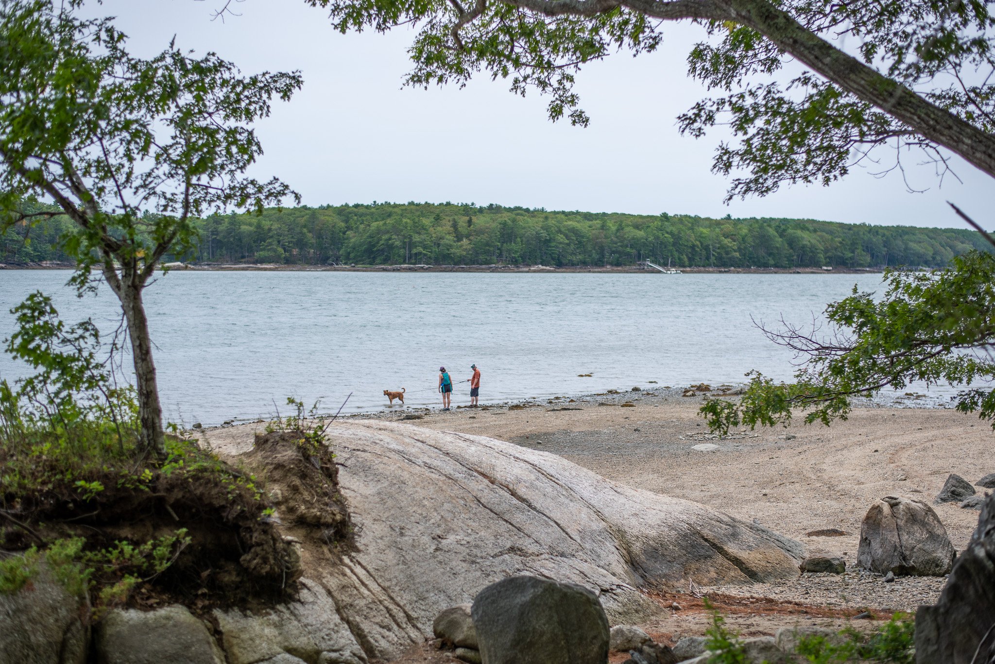

About Coastal Rivers
Coastal Rivers Conservation Trust is a nationally-accredited land trust conserving nearly 8,000 acres of the Damariscotta-Pemaquid region’s most significant lands for public benefit. Coastal Rivers protects vital ecological habitats, safeguards clean water, supports climate resilience and connected wildlife corridors, preserves working waterfronts and agricultural lands, and ensures public access to the outdoors for this generation and beyond. Coastal Rivers’ service area is located on the ancestral and unceded lands of the Wabanaki people. We acknowledge and honor with gratitude the indigenous peoples who have stewarded this land and these waters since time immemorial.
Keep reading to see five diverse trails across our properties. We hope you love them!
Hatchtown Preserve in Bristol. Best in Spring 🐝🌸
Stratton Island Preserve in South Bristol. Best in Summer 🌞⛱️
Dodge Point Preserve in Newcastle. Best in Fall 🍂🍁
Crooked Farm Preserve in Bristol. Best in Winter ❄️⛄
Round Top Farm Preserve in Damariscotta. Accessibility in all seasons ‼️
1. Hatchtown Preserve
🥾AllTrails Route🥾
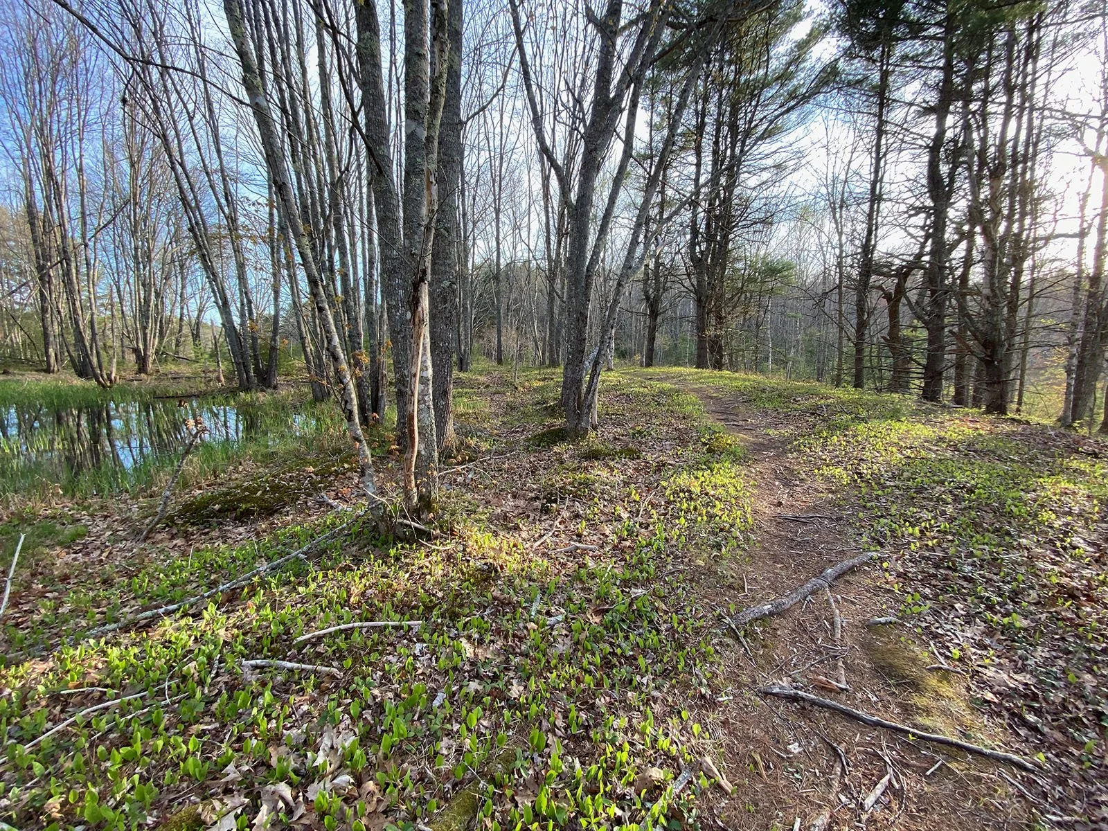
Situated on 35 acres along the Pemaquid River, Hatchtown Preserve is a short, gentle trail that ambles through a forest of oak and pine, skirting alder wetlands down to an almost-island along the riverbank.
Insider tip: A small pull-out makes it easy to access by canoe or kayak from the river as well.
Unique biodiversity feature: In the spring, vernal pools come alive, filling the woods with the sound of spring peepers. The riverfront wetlands are adorned with blooming wildflowers like pink lady’s slippers, trout lilies, and blue bead lilies. It also serves as a vital nesting spot for returning migratory songbirds and wading birds.
2. Stratton Island PReserve
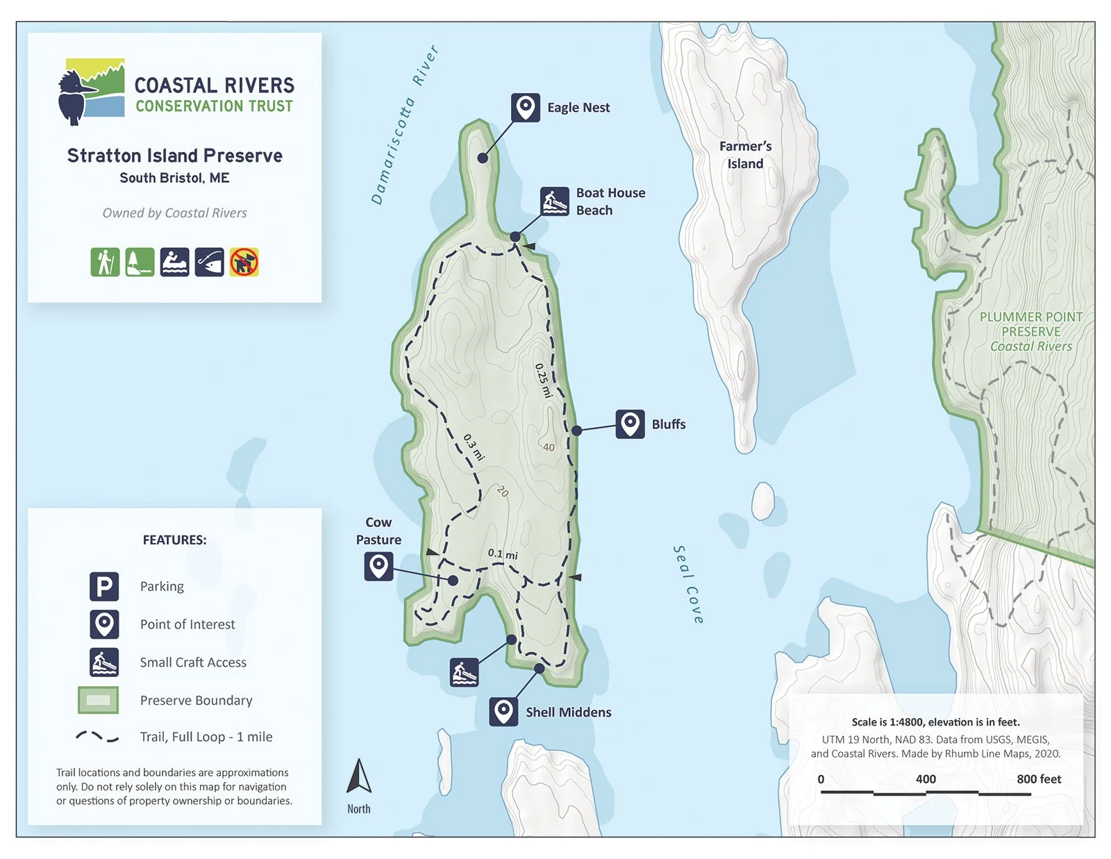
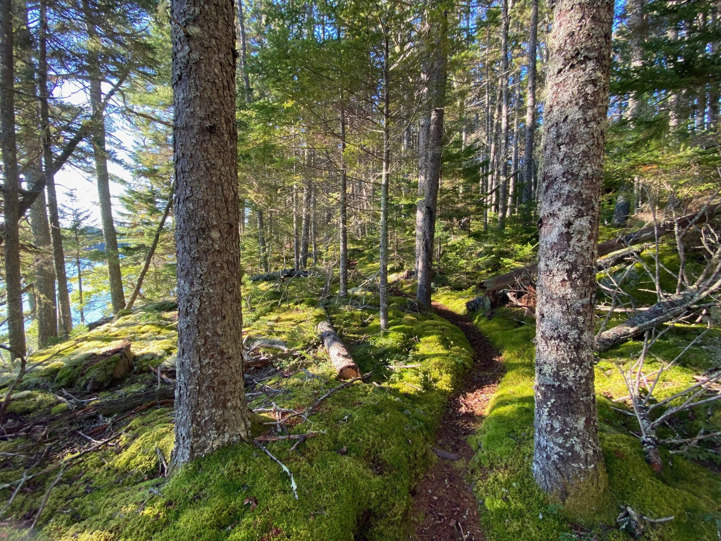
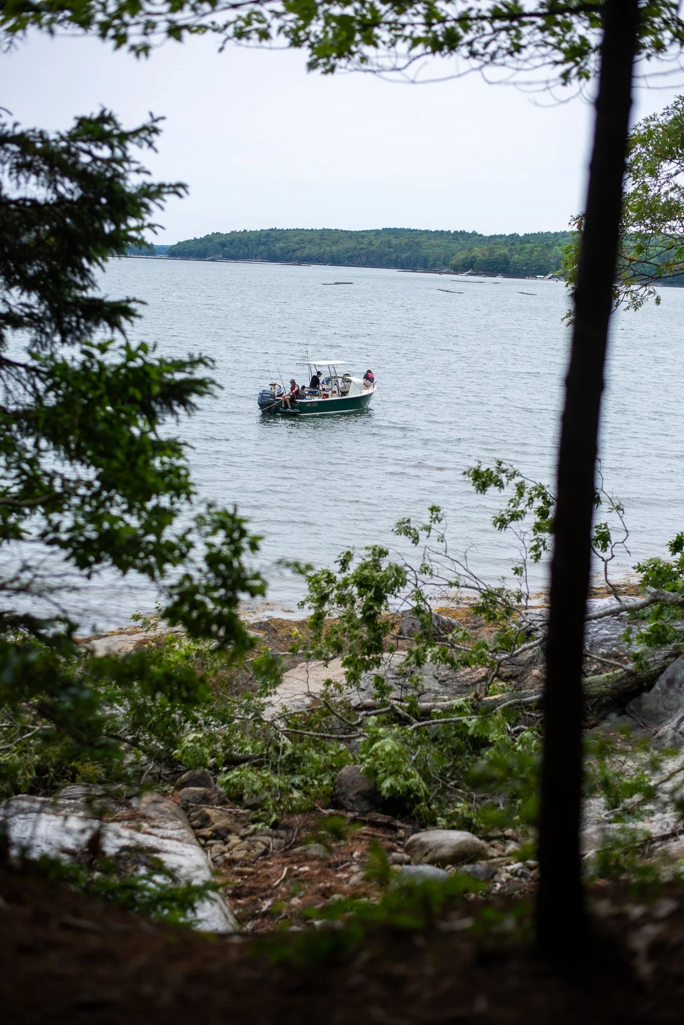
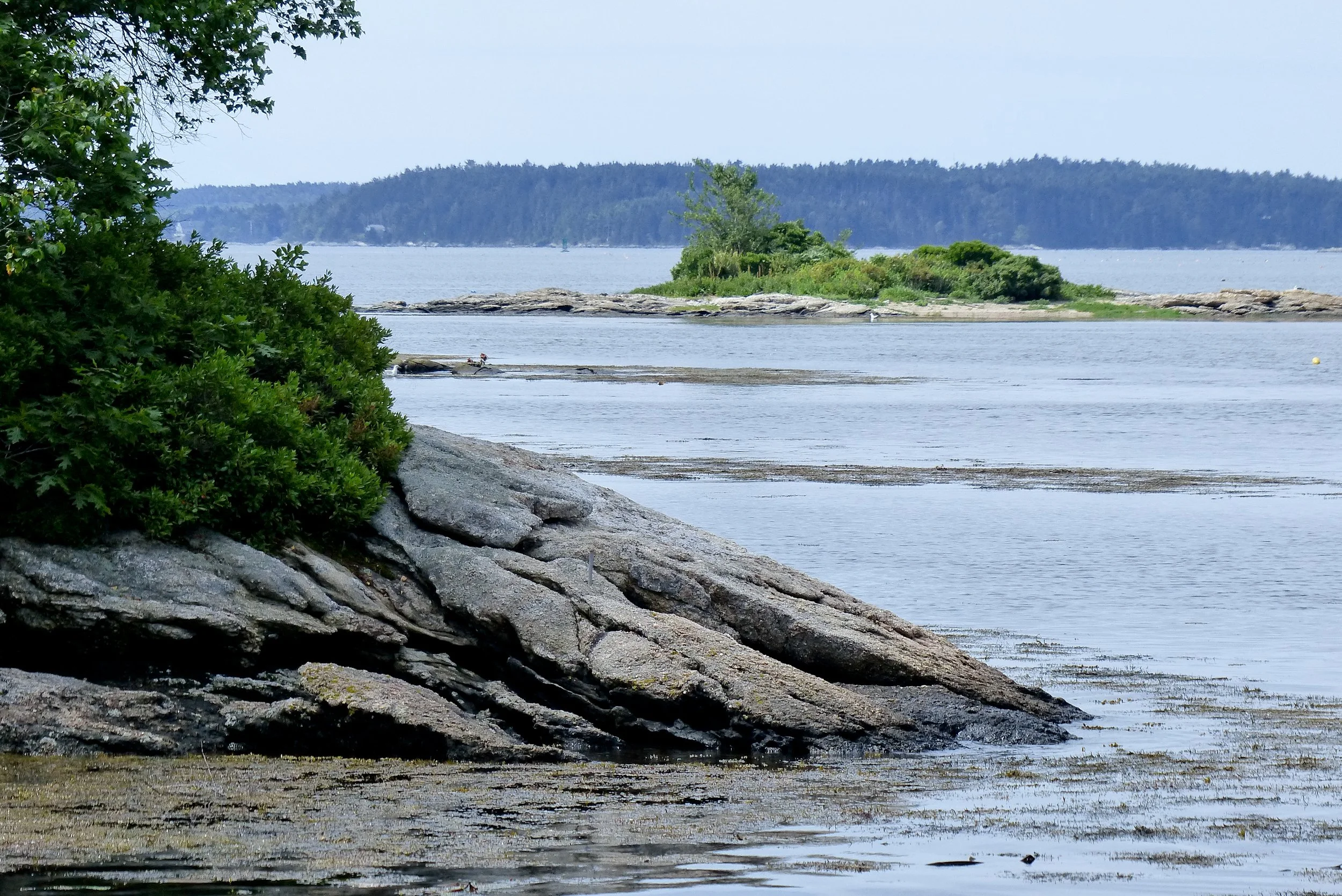
Accessible only by small boat, canoe, kayak, or paddle board, this secluded 28-acre island sits near the mouth of the Damariscotta River. On the hike itself, there are moderate changes in elevation with some roots and rocks underfoot. The Damariscotta River has long been a source of sustenance for people and wildlife native to this place: traces of an ancient shell midden can be found along the trail near the beach at the southern end of the island.
Insider tip: A small cove at the northeast end offers the best landing spot, and this is where you’ll pick up a narrow trail that loops around the island.
Unique biodiversity feature: Soft, vibrant moss carpets the forest floor, particularly on the east side, while a rocky shoreline and tree canopy support active nesting sites for bald eagles and osprey (please take care around their nets, especially between April and July!) as well as wading birds found in the island’s shallow coves.
Click here to explore all Land Trust Spotlights!
〰️
Click here to explore all Land Trust Spotlights! 〰️
3. Dodge Point Preserve
🥾 AllTrails Route 🥾
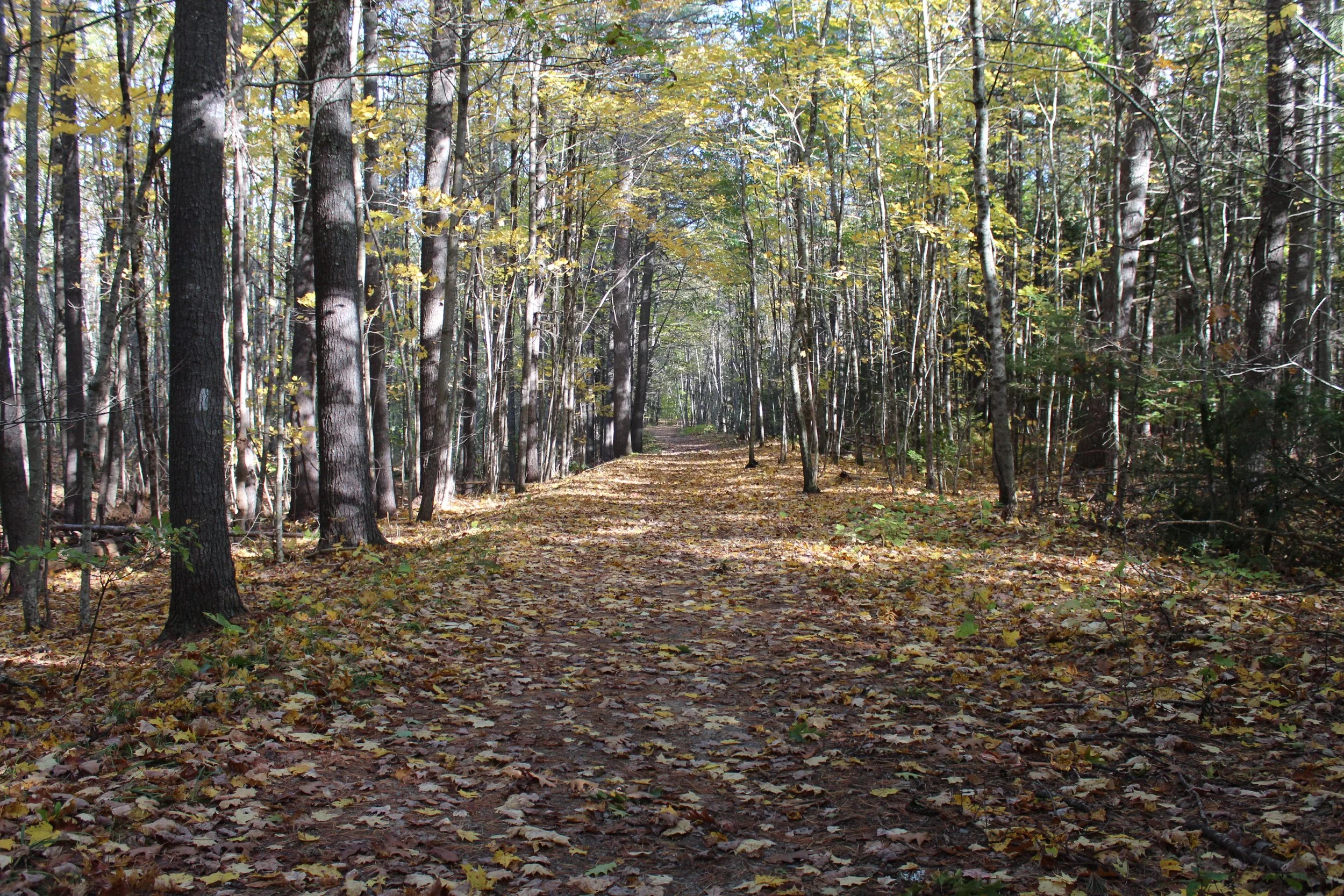
Loved by locals and visitors alike, Dodge Point offers an extensive trail system of old farm roads and wooded paths through mixed growth forest and a large stand of red pine. It’s the perfect backdrop for fall’s golden hour among the changing colors and crisp air. The freshwater Ice Pond and surrounding ravines also offer birdwatching for migrating waterfowl, and the forest floor produces a diverse array of late-season fungi and mushrooms thriving on the seasonal leaf litter. Remember to wear your blaze orange gear in the fall!
Dodge Point is also the northeast terminus of the extensive River~Link Trail, a multi-town initiative to establish a permanently protected and publicly accessible block of connected land to support climate resilience, clean water, recreation, and wildlife at a meaningful scale. On the River~Link, trail conditions over the five-mile length vary considerably, from old wood roads to narrow dirt paths, with rocks, roots, an old stone bridge, and stream crossings to navigate.
Insider tip: Remember to wear your blaze orange gear in the fall!
Unique biodiversity feature: Wildlife sightings include fox, deer, beaver, porcupine, and an occasional moose!
Bonus: Step by Step Dodge Point Article here!
〰️
Bonus: Step by Step Dodge Point Article here! 〰️
4. Crooked Farm Preserve
🥾 AllTrails Route 🥾
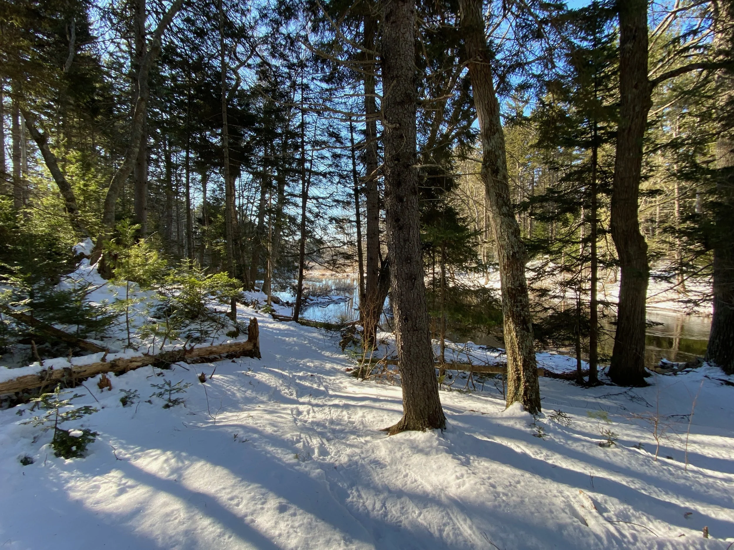
Crooked Farm Preserve offers nearly 140 acres of forests and open fields — perfect for snowshoeing or cross-country skiing off the beaten track. Some moderate changes in elevation place it “on the green side of blue” in terms of trail difficulty. The forest changes from oak and white pine canopy to spruce woods along the water.
Insider tip: You may have inferred this from above 😉, but this one is perfect for the winter!
Unique biodiversity feature: A long stretch of undeveloped shoreline along the Pemaquid River and Boyd Pond provide prime edge habitat favored by wildlife - keep an eye out for otter slides in the snow, as well as moose, deer, fisher and fox tracks!
5. Round Top Farm
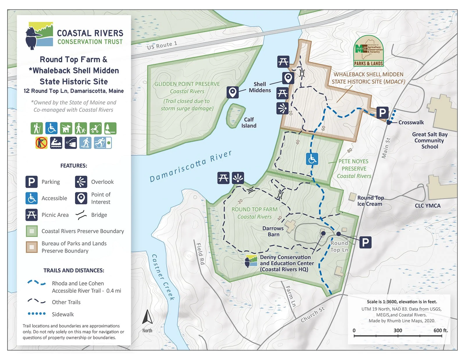
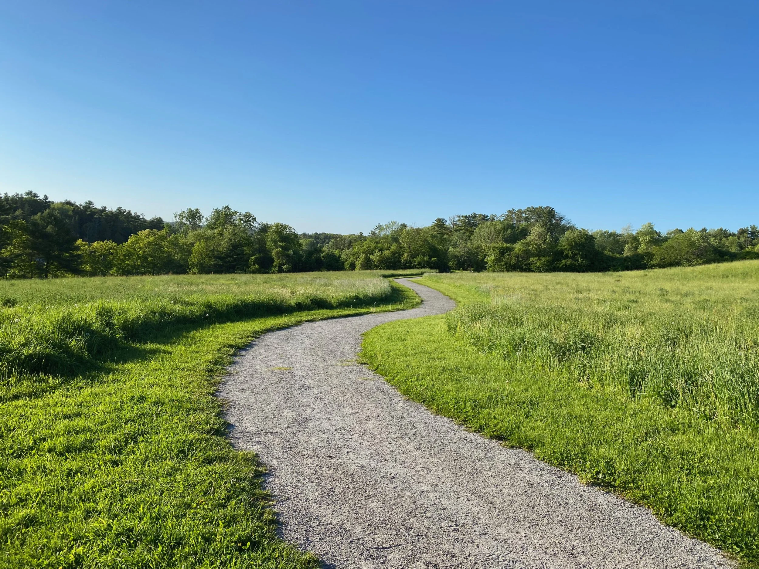
The Rhoda and Lee Cohen River Trail at Round Top Farm is rated accessible by Forest Service standards, with an 8’ wide, gently graded trail overlooking rolling hayfields over the out-and-back distance of 0.6 miles. Handicap parking is available at both trailheads (Round Top Farm and Whaleback Shell Midden State Historic Site).
Insider tip: This is an accessible trail and welcomes visitors during all seasons!
Unique biodiversity feature: Round Top Farm is managed for grassland birds and is a great place to see Bobolinks and Savannah Sparrows during the nesting season. Birders will also enjoy frequent sightings of red tailed hawks using the open vista to scan for prey, as well as ospreys and bald eagles that nest along the river.
Thank you, Coastal Rivers CT for everything you do to protect our great state’s ecological diversity AND to provide us access to view it 😊
About Land Trusts in Maine
Land trusts have worked tirelessly to conserve 12% of Maine’s total land, which is double the size of state parks, national parks, and national forests combined. There are 84 land trusts in Maine. While that number continually evolves, a couple of things stay the same:
Most of the permanent conservation of these lands is made possible by generous private landowners, who selflessly entrust their beloved family land to these trusts for conservation, environmental education, and community benefits.
Members and volunteers are the driving force behind land trusts, from creating and maintaining hiking trails, to environmental research, to nature-based community programs. Their efforts, both physical and monetary, make our favorite trails possible.
Looking for your next hike in Maine?
Check out the rest of the Land Trust Series here!
Dive into our statewide interactive map referencing all of our recommendations!
Kennebec Estuary Land Trust protects tidal marshes, salt ponds, and oak‑studded trails where eagles wheel and seals spy. Check out these midcoast gems!