
Gulf Hagas Loop: Maine’s Most Epic Day Hike
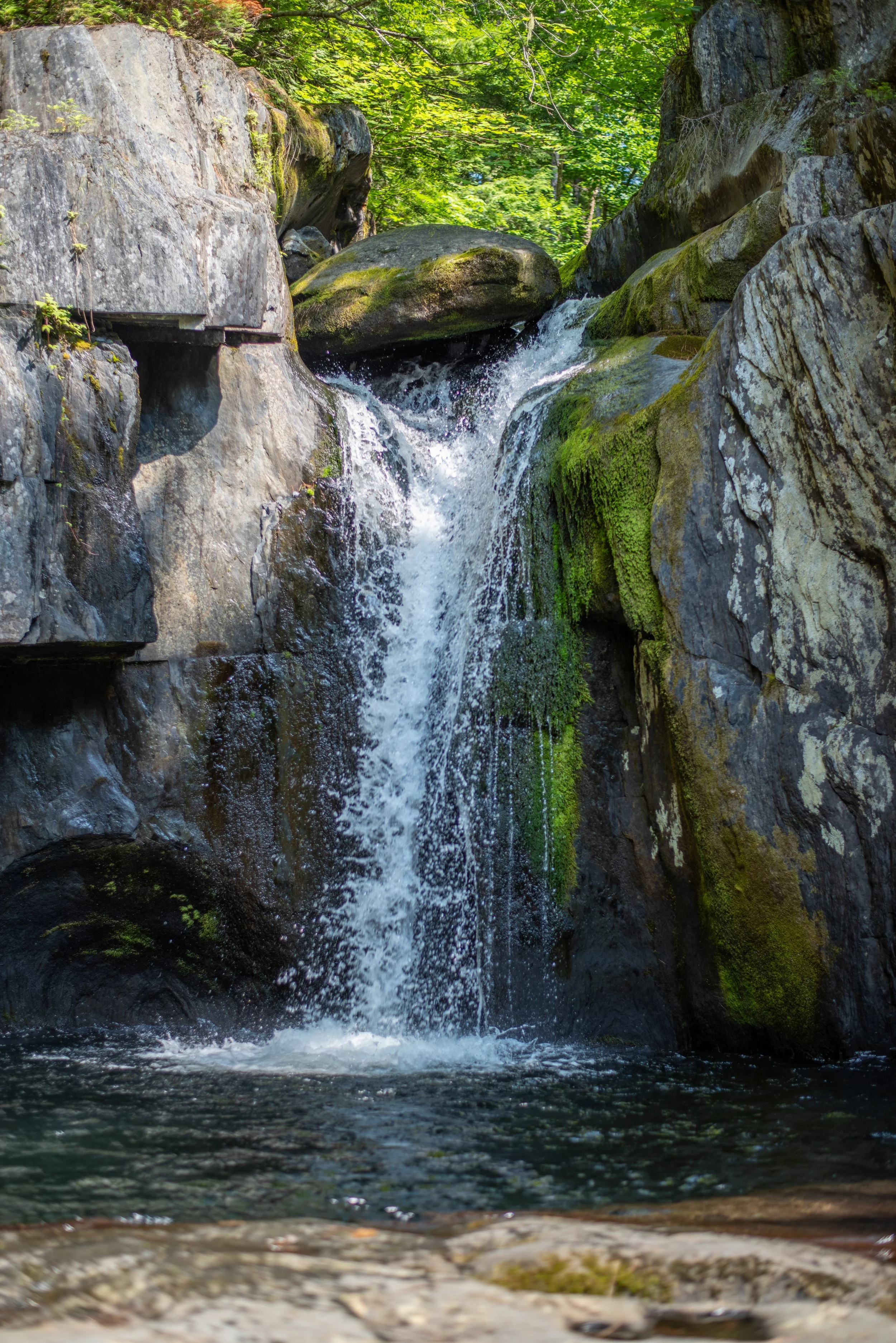
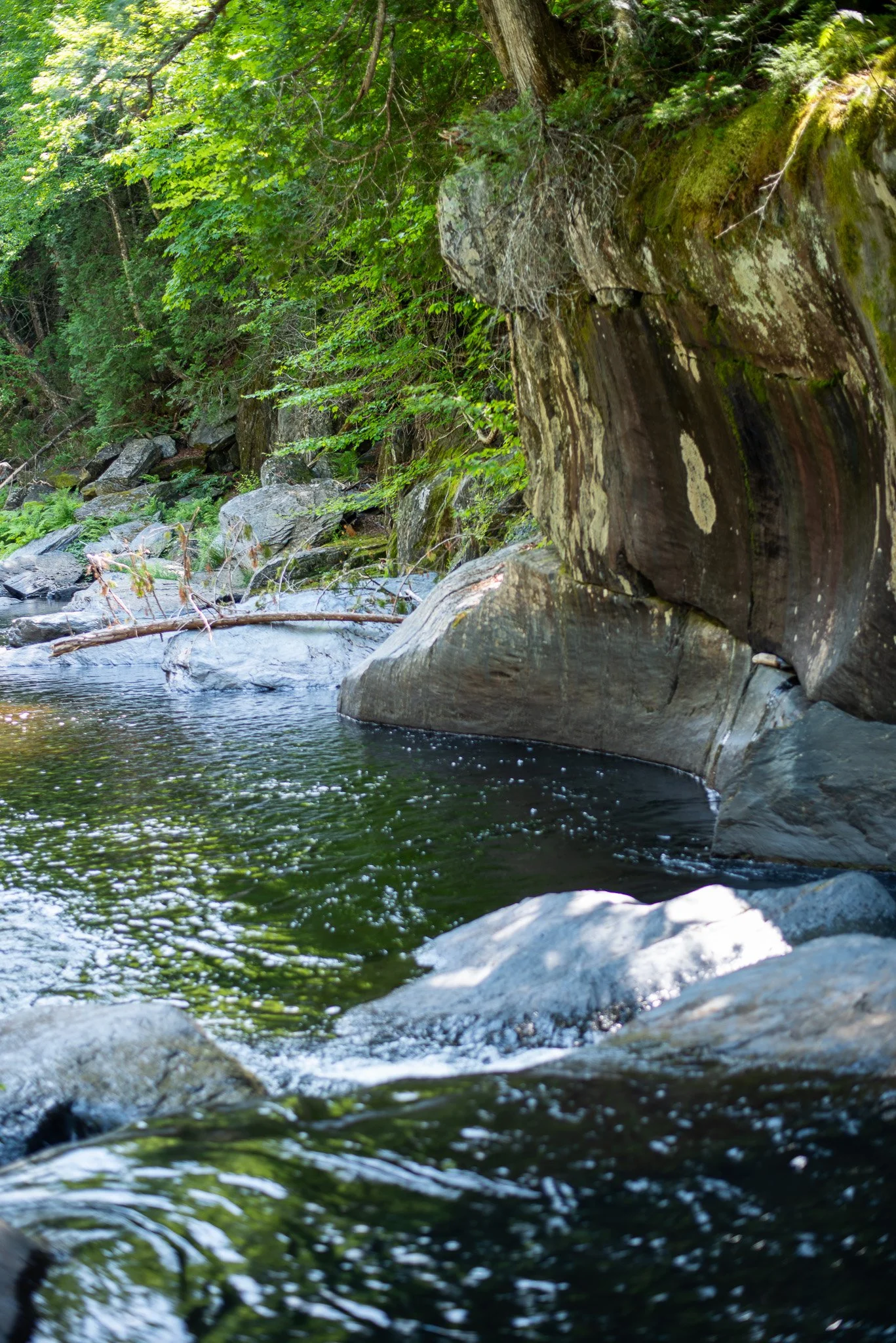
Screw Auger Falls
It’s Called “Maine’s Grand Canyon” — And You’ll Still Underestimate It
I was radiating overconfidence before my friend Michael came up from Texas to visit. “It’s only like 8 miles,” I told him on the phone. “Not much elevation. Easy day hike. But I’ve heard it’s pretty epic. And it’s been on my list for so long.”
At the last minute, we had decided against making the long weekend a multi-night backpacking trip. Ten years ago, right after graduating college, Michael and I conquered the 60+ mile Queen Charlotte Track in New Zealand in 3 days. So we aren’t exactly amateurs, but we do have burgeoning dad bods and three young toddlers between us. I hadn’t had enough time to nail down a backpacking route; I just knew we weren’t allowed to camp on the Gulf Hagas Circuit except near the entrance on the Lower Gulf side. Also, we didn’t have all the gear we needed (water filter, see foreshadowing), and the gear we did have was super heavy. In other words, a car camping adventure was beckoning.
So when Michael arrived, we caught up via a 3.5 hour drive north from Portland, and made it to the Katahdin Ironworks Checkpoint. The area around the foundry carries the unique history of being much more populated 150 years ago than today. At KIW, you’ll see a well-marked cabin owned by North Maine Woods, Inc. where check-in is required for both day use and camping. For two people camping two nights, it cost a little over $100. Not cheap, but easily worth it. We picked a campsite that proved questionable for the Toyota RAV4 we were driving, but alas, we didn’t come all this way to take the easy way out.
We set up camp and explored the stream next to our campsite. The water was cold and the swimming holes were numerous, even in the midst of a drought. We built a fire and cooked dinner. Not much of a story here; we quickly passed out after eating some kabobs and drinking beers, both of which always taste better sitting in a camp chair by a crackling fire.
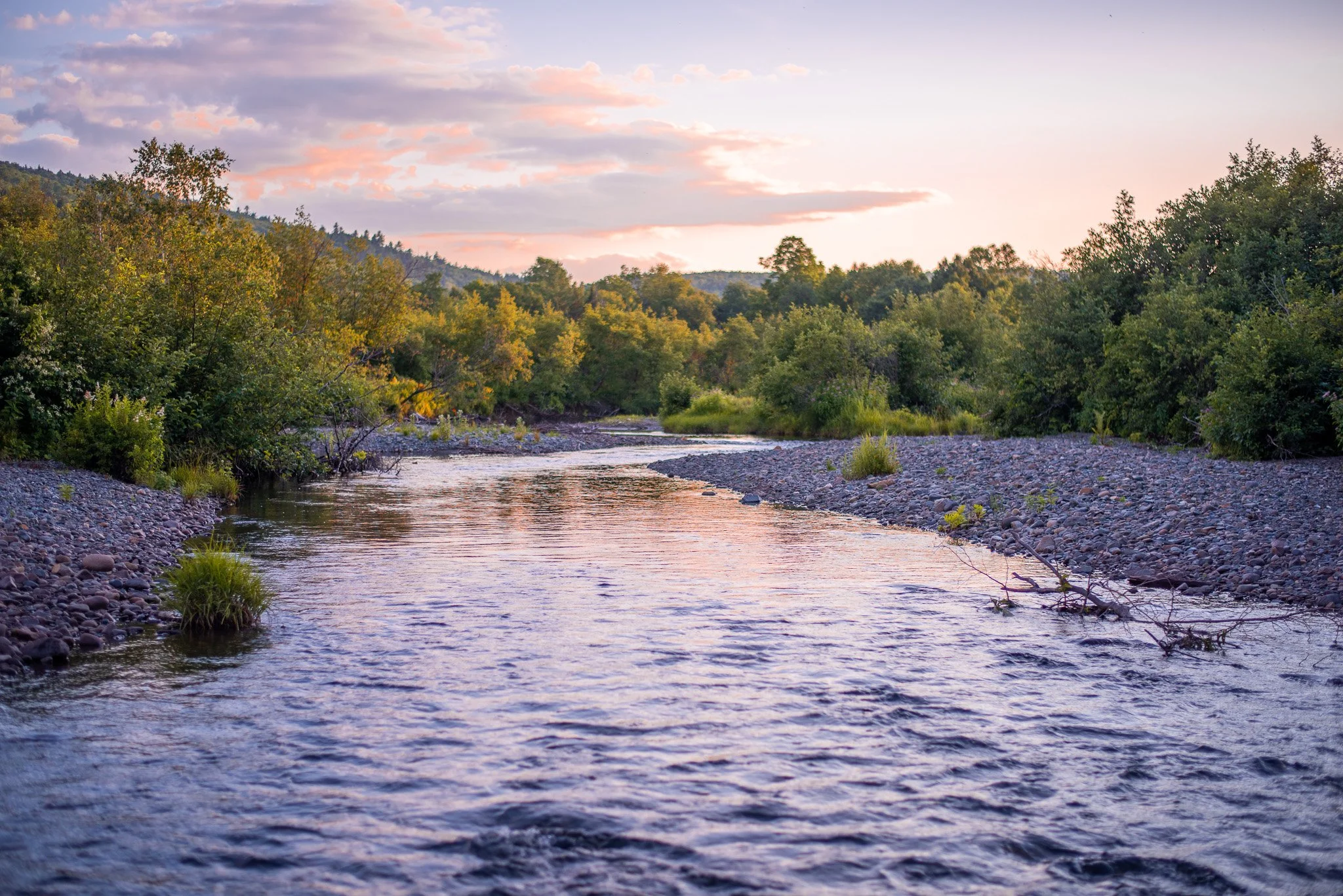
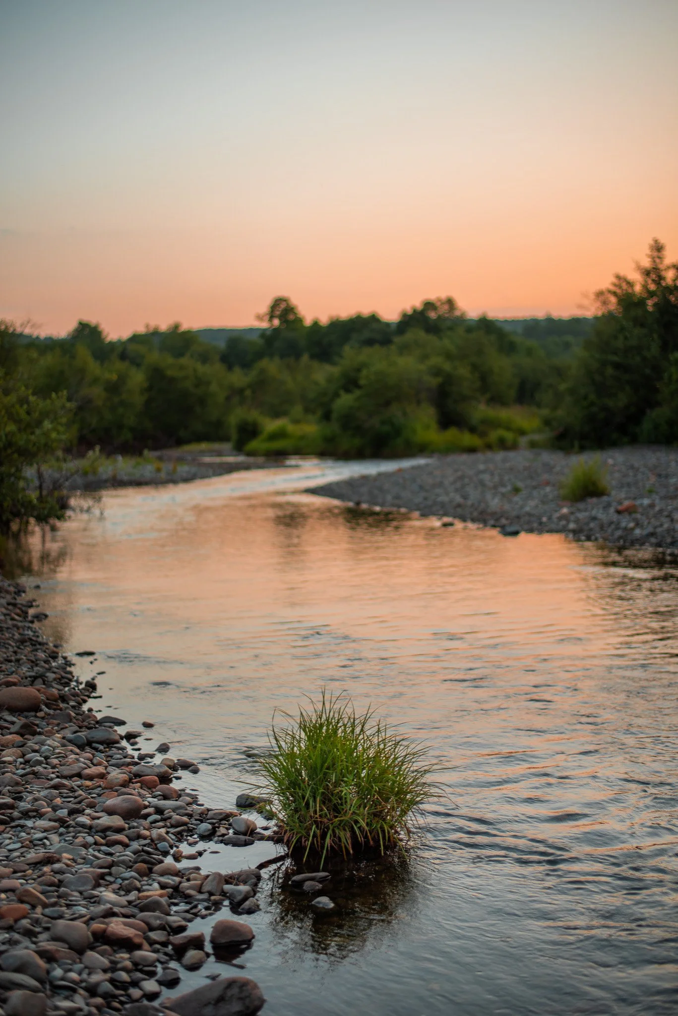
Sunset — Walking distance from our campsite
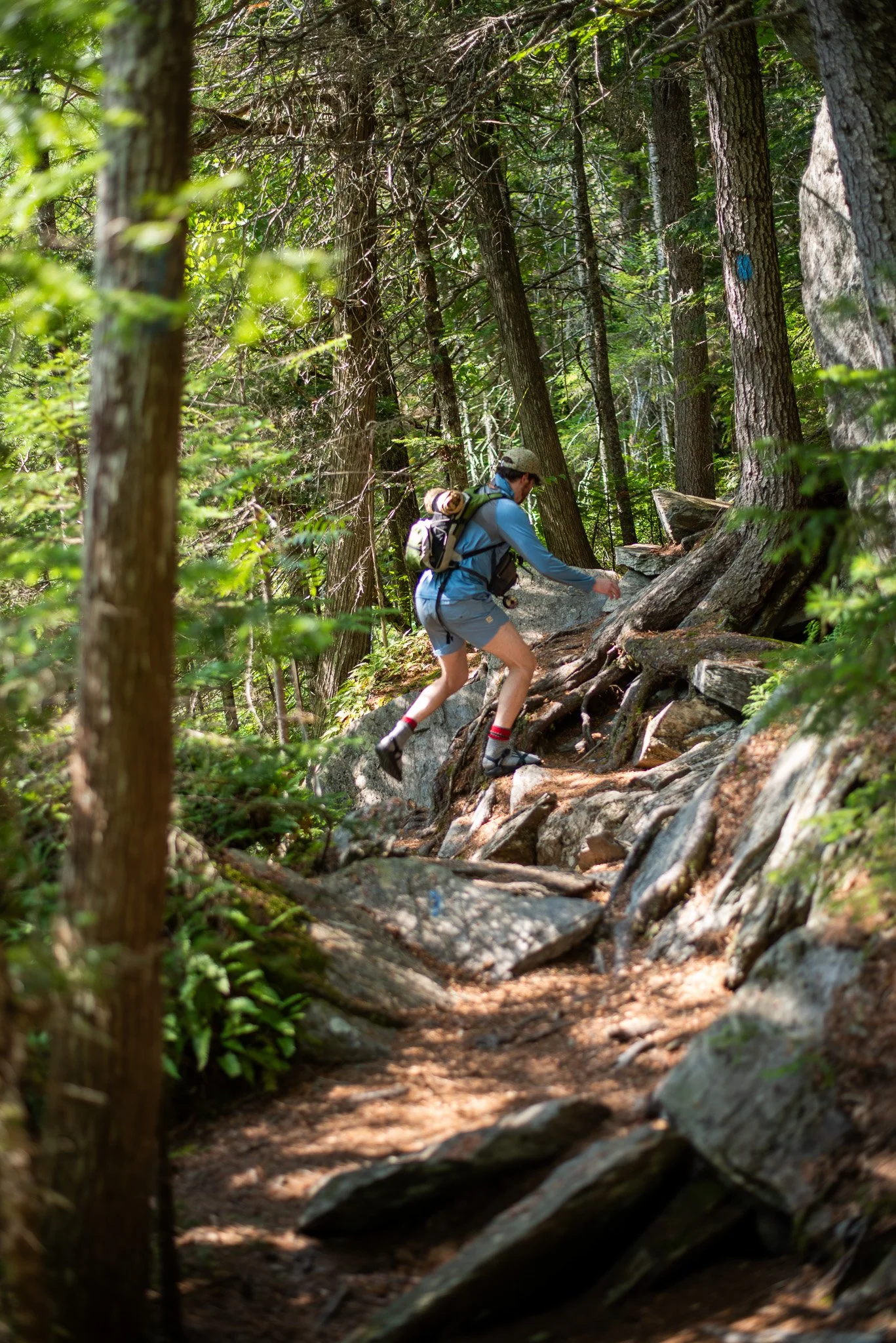
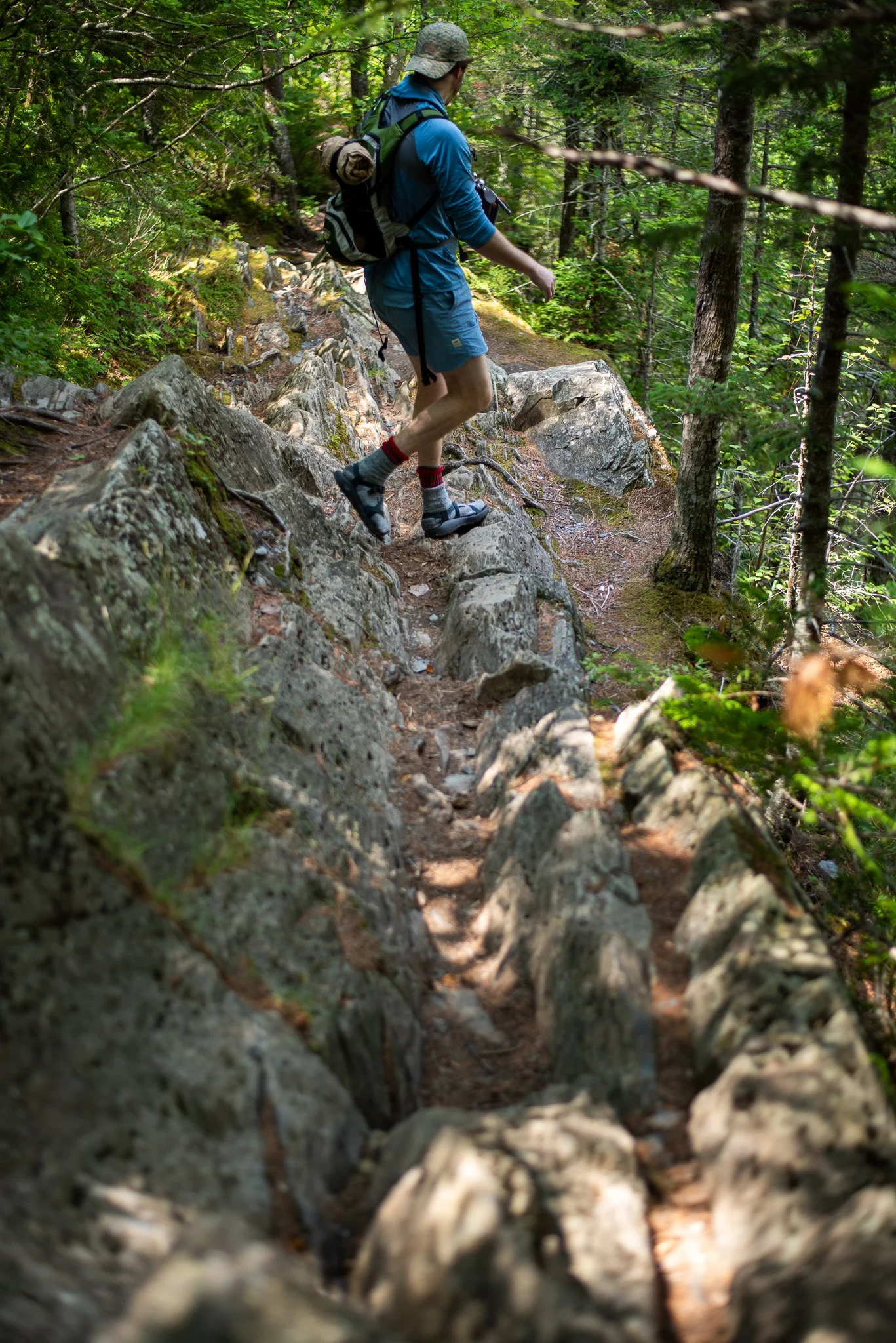
Chacos and socks. Questionable at best.
The next morning, we rolled out of bed for the hike. And yes, it did feel weird not waking up to screaming toddlers. As we made the instant coffee, I was still way more worried about not catching fish on the hike than I was for the hike itself. Accordingly, I spent most of the early morning hours preparing my fly rod setup. We packed up 3.5 liters of water, lunch, snacks, the map, our phones, and my weighty Nikon D810 with my trusty 50mm fixed lens. It was about 8:00am, and we were off.
Only about half a mile from our campsite, the first person we saw flagged us down. “You guys been out here before?”
“Nope, but been trying to get out here for a long time! Any advice?”
“You’ll love it, it’s such a gorgeous place,” he assured us. “But people underestimate it. We’re doing rescues out here all the time. I mean all the time.”
My confidence immediately wavered. “Really? What do you mean we?”
“Yeah, there are some super steep parts and it’s easy to get lost on the side trails. The state has me out here all summer, just to rescue people. Well, and to plant pitcher plants.”
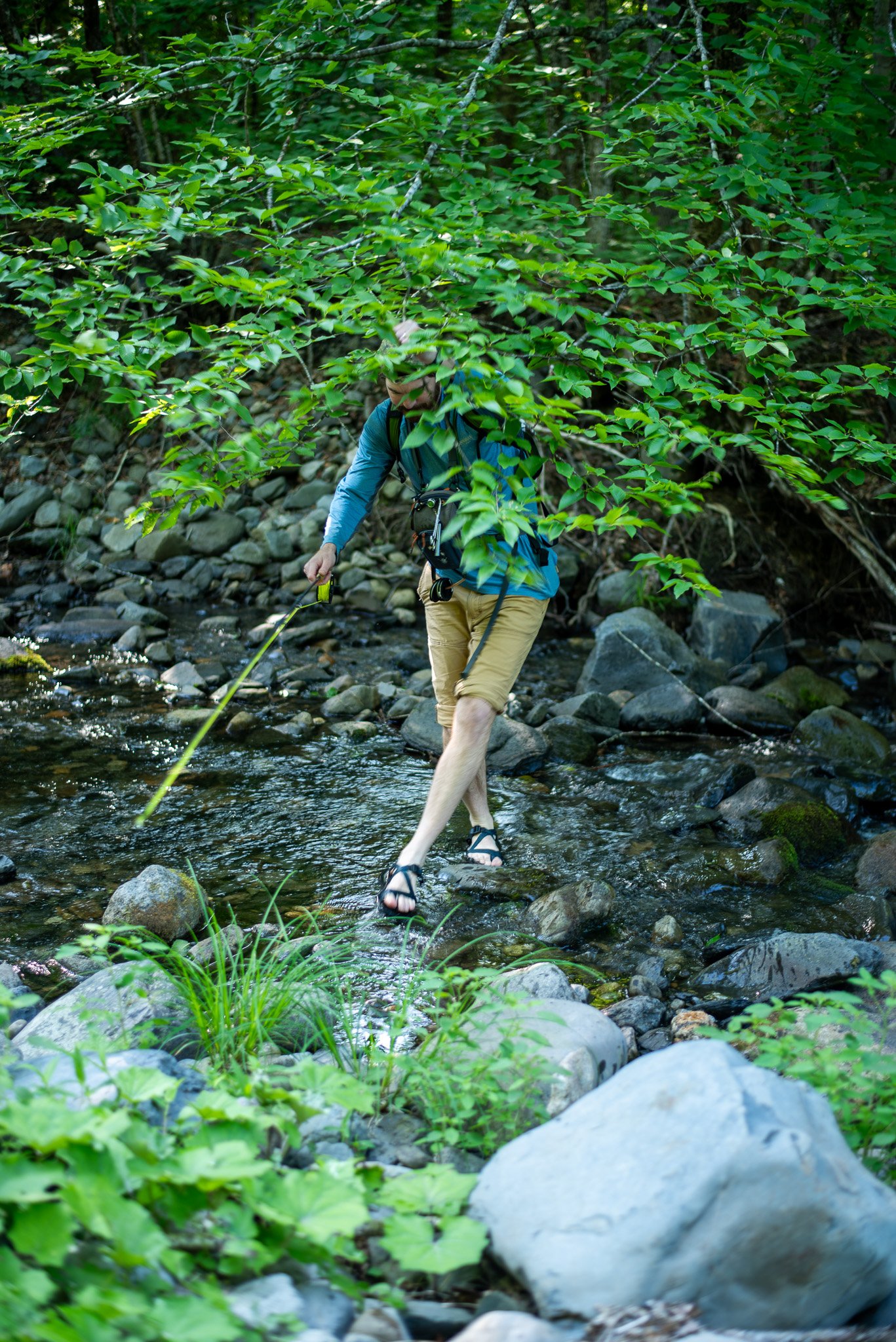
Michael and I looked at each other with dramatically widened eyes. “Should I not have worn Chacos?” He mumbled under his breath.
“We’re fine. We brought socks!”
After we joined the Appalachian Trail northbound, we wandered into The Hermitage, an old growth forest permanently conserved by the Nature Conservancy. These 300-year-old, 100 ft. high monoliths are a humbling sight to behold.
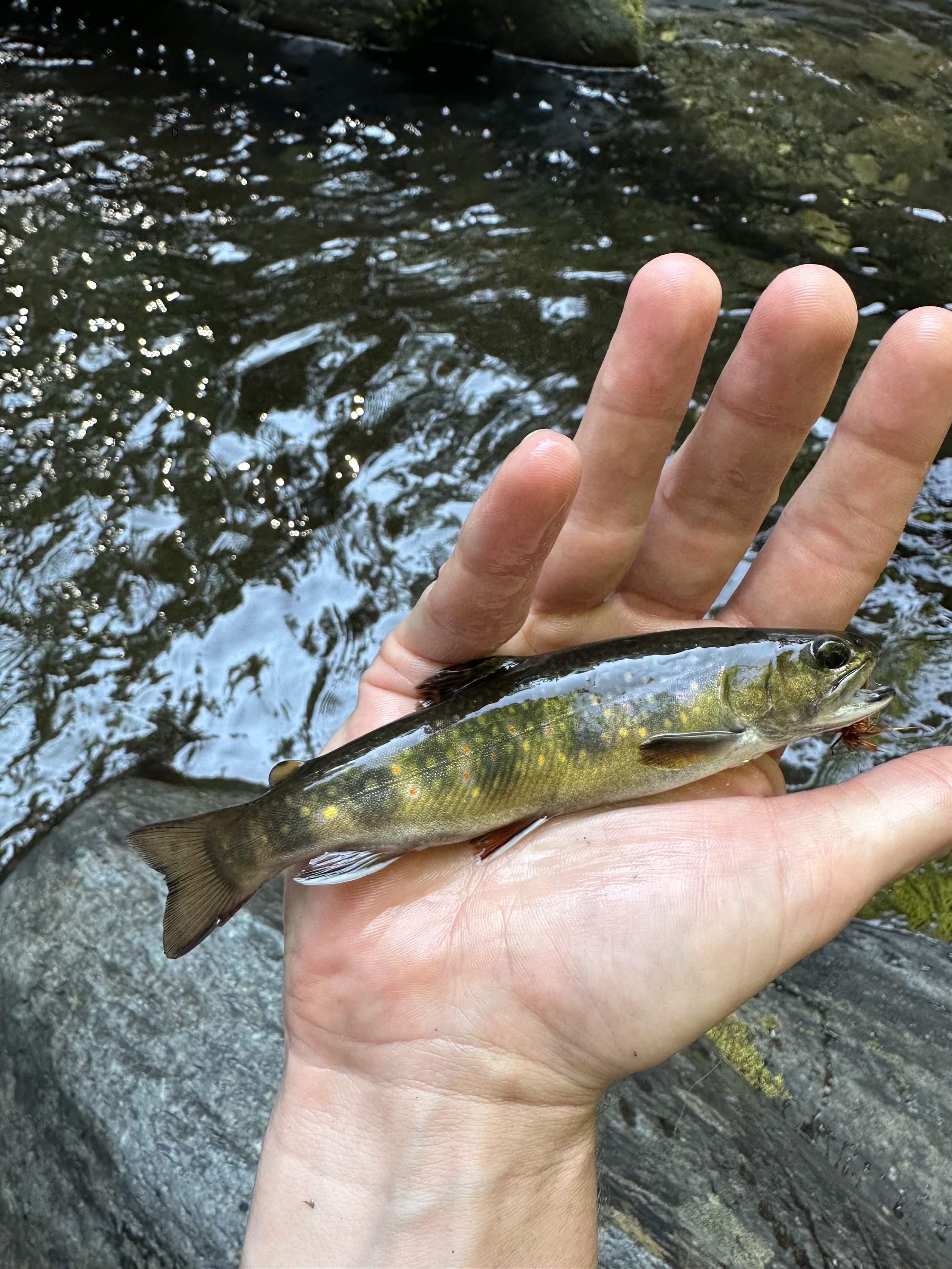
First native brookie we caught!
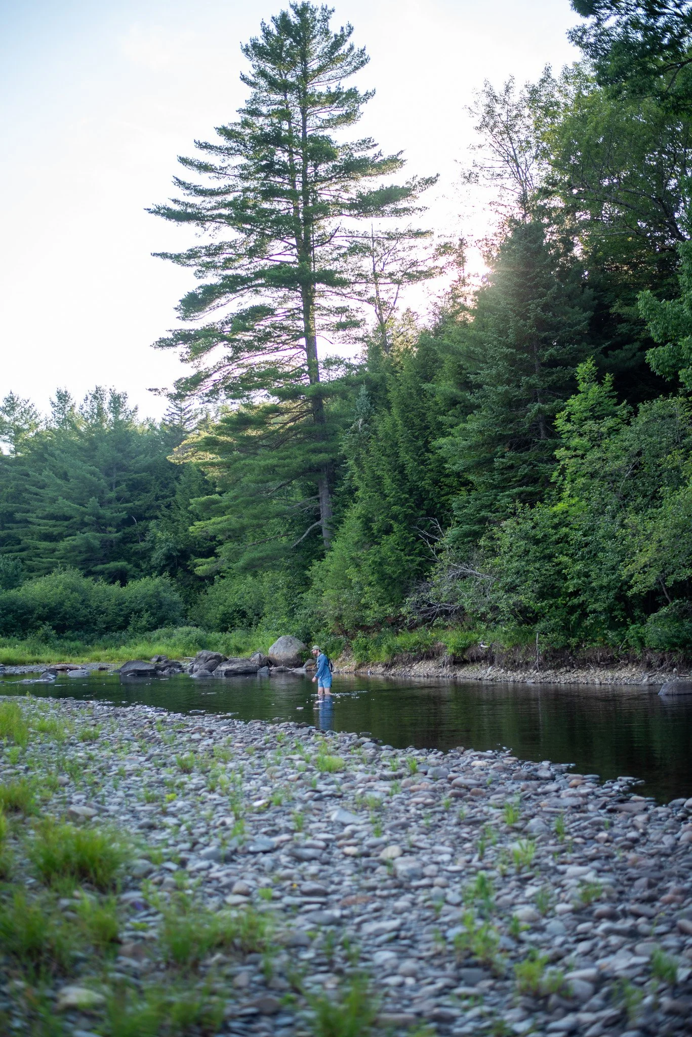
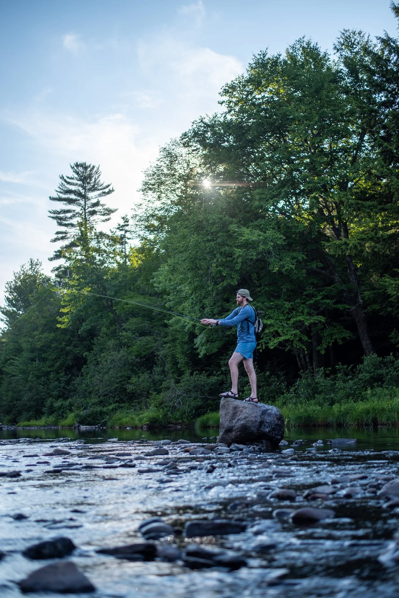
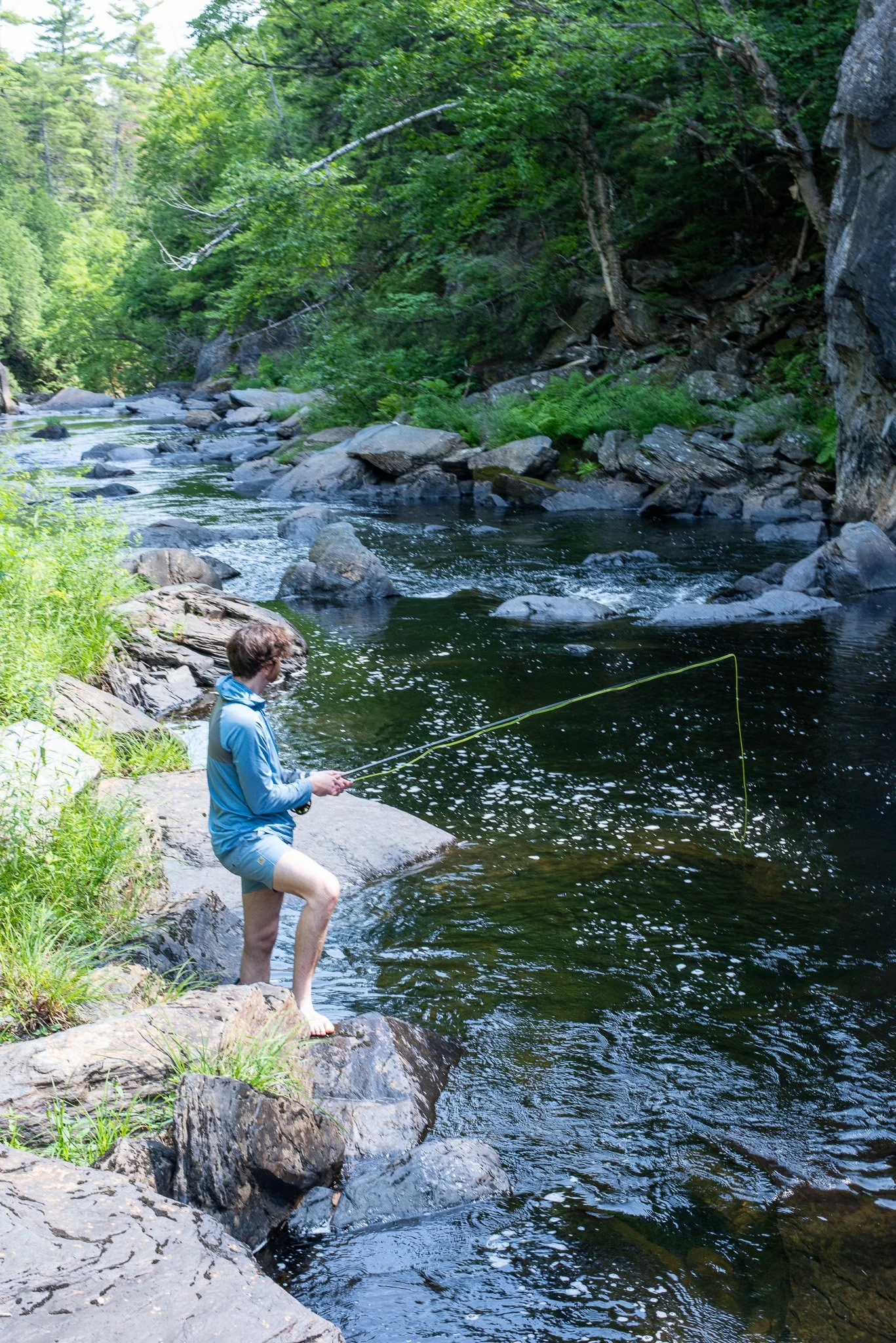
After feeling extra puny encountering a few thru hikers on the AT, the real day hike begins. The hike branches off the Gulf Hagas Rim Trail, where you have to begin with a minor ford. By the way, if you start at the Lower Gulf trailhead, you’ll also need to ford the river. I, of course, took full advantage of this first fording by turning it into a 30 minute brook trout reconnaissance mission. And within a couple minutes…the lid was off! I pulled a couple of 6-8 inchers of the plunge pools. What an epic start!
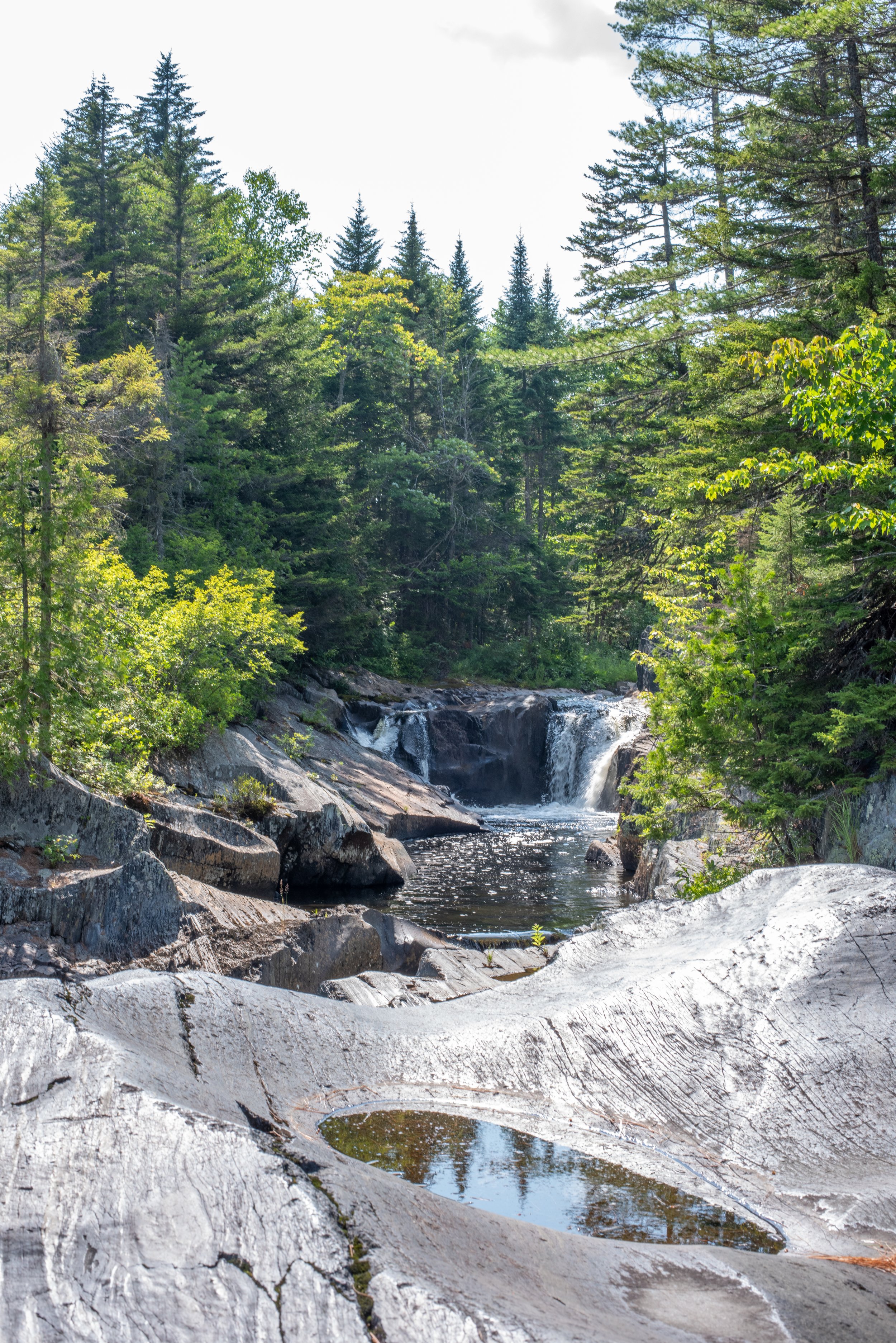
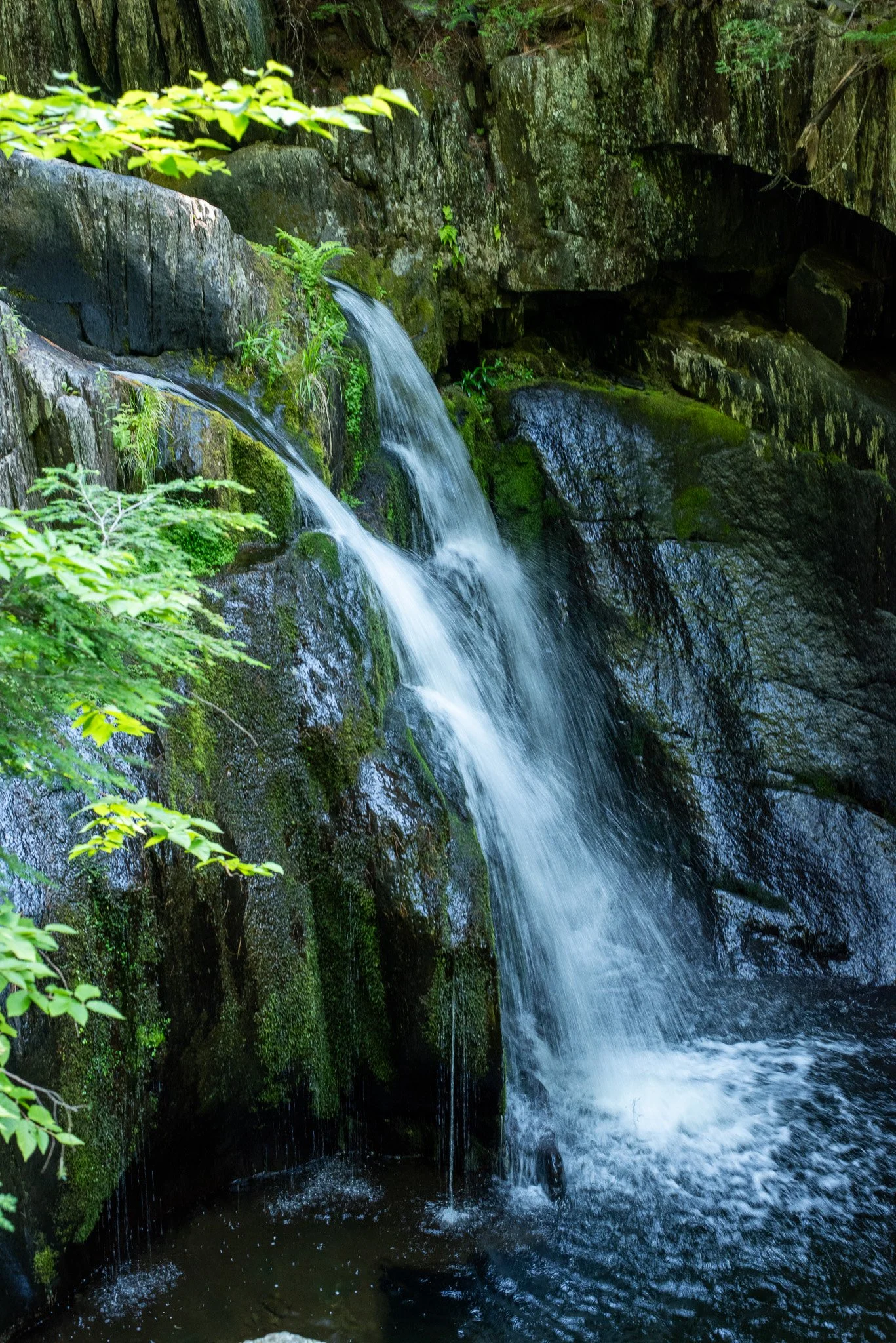
The trail almost immediately plunges into one of its most iconic spots: Screw Auger Falls, where it’s an unofficially official rite of passage status to jump in. Wanting to fully embrace the spirit of the hike (and because we were already dripping sweat), we obliged. It was refreshingly bone chilling, but it was a surprising challenge to get out of the deep pool. I tried to fish here, but no luck. Either I couldn’t get enough depth on the bugger or the constant swimming disrupts the habitat. Probably both. Regardless, I felt good about capturing the iconic waterfall.
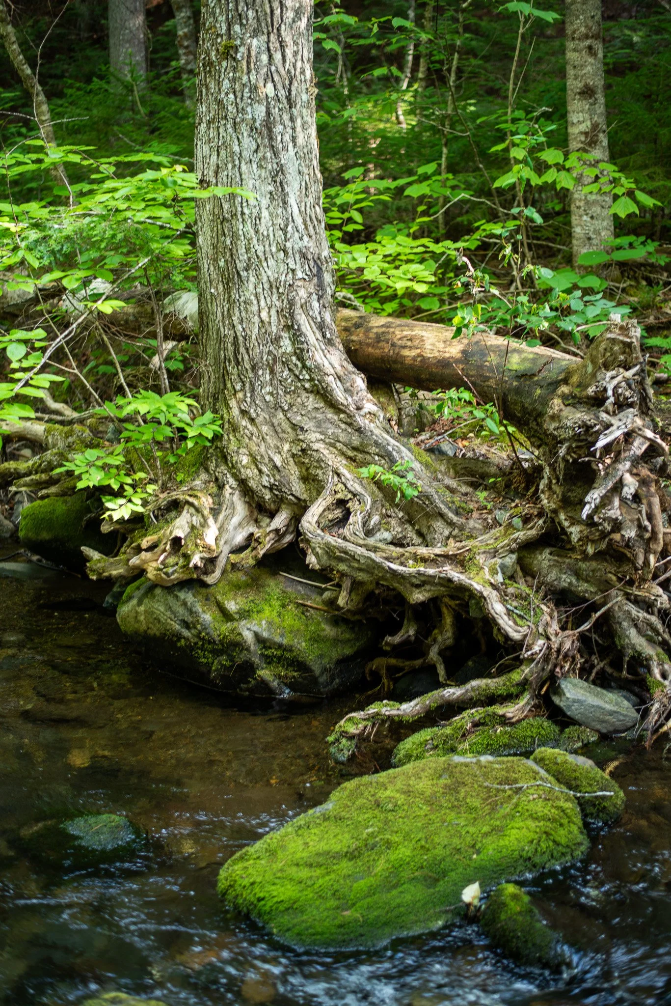
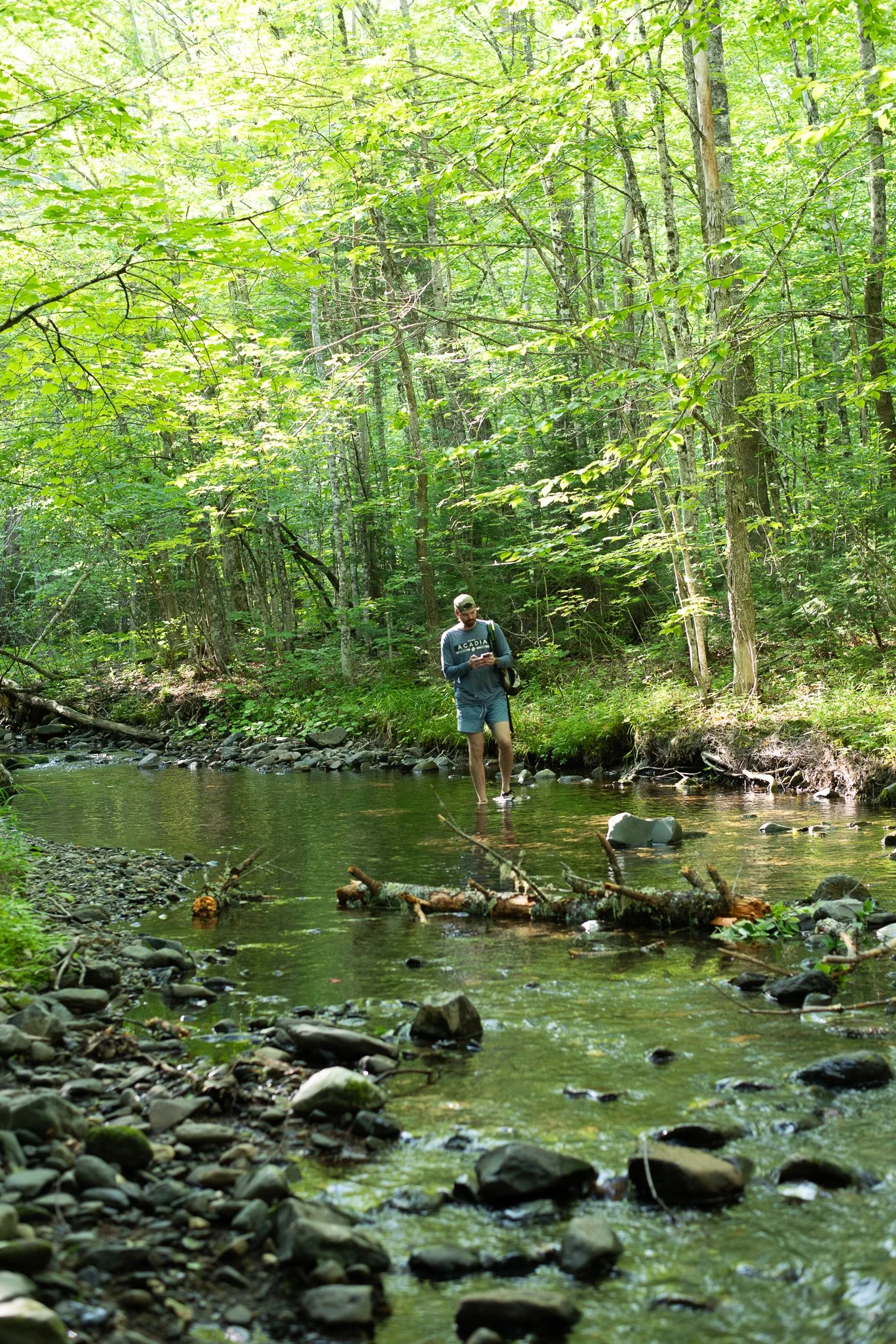
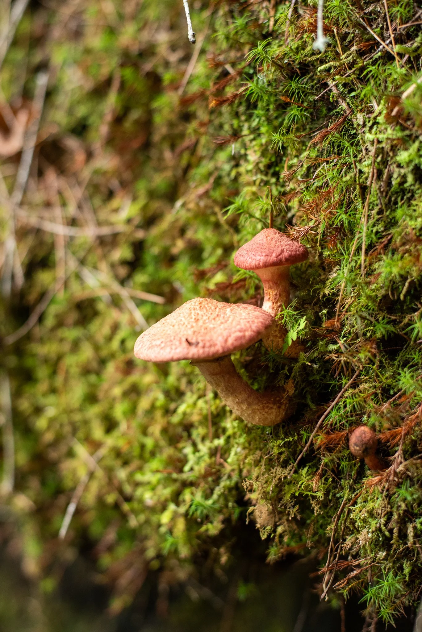
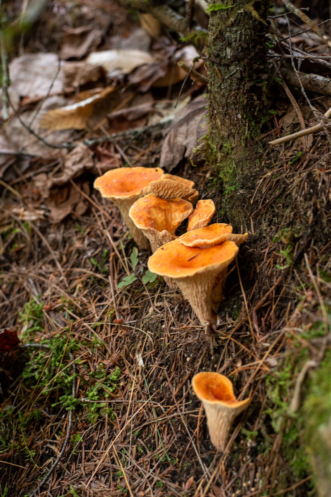
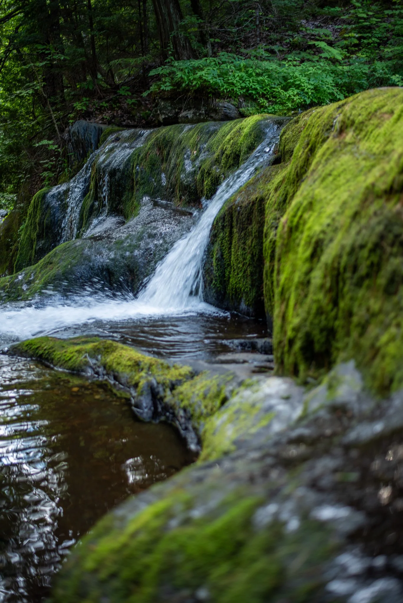
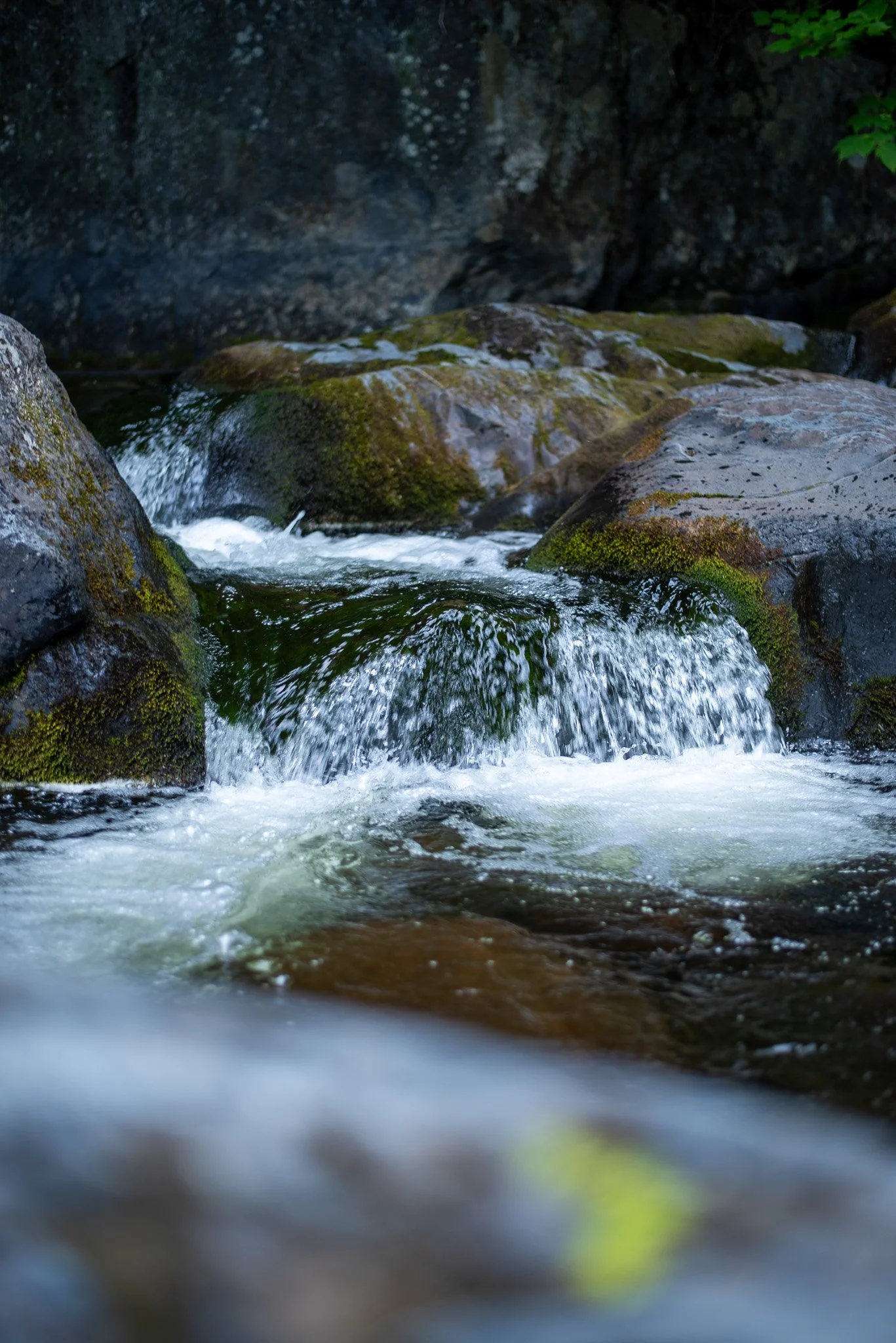
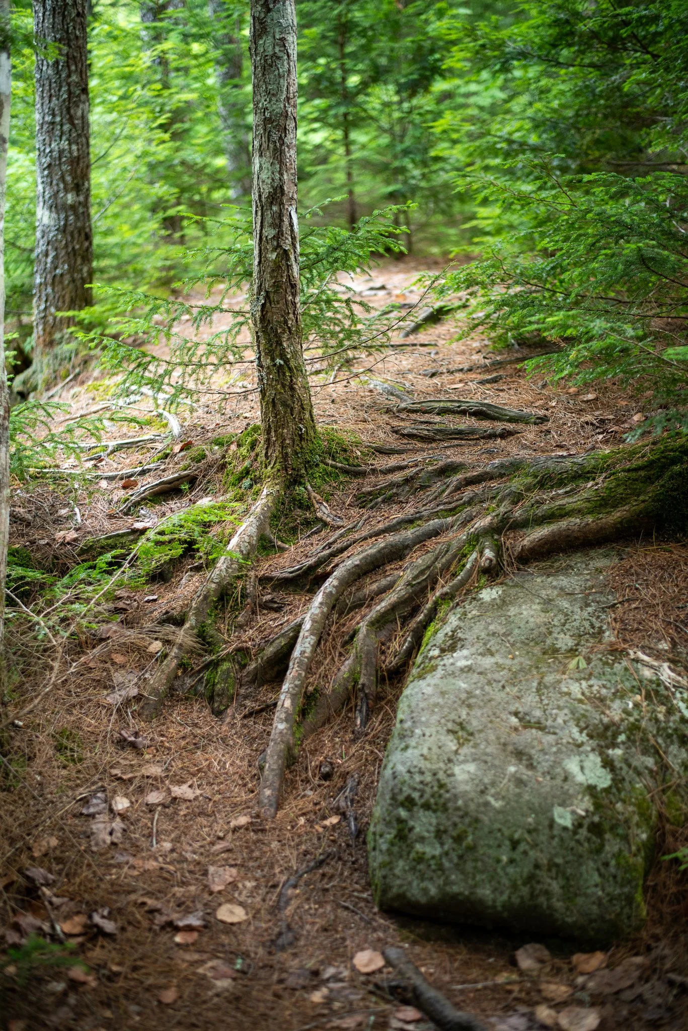
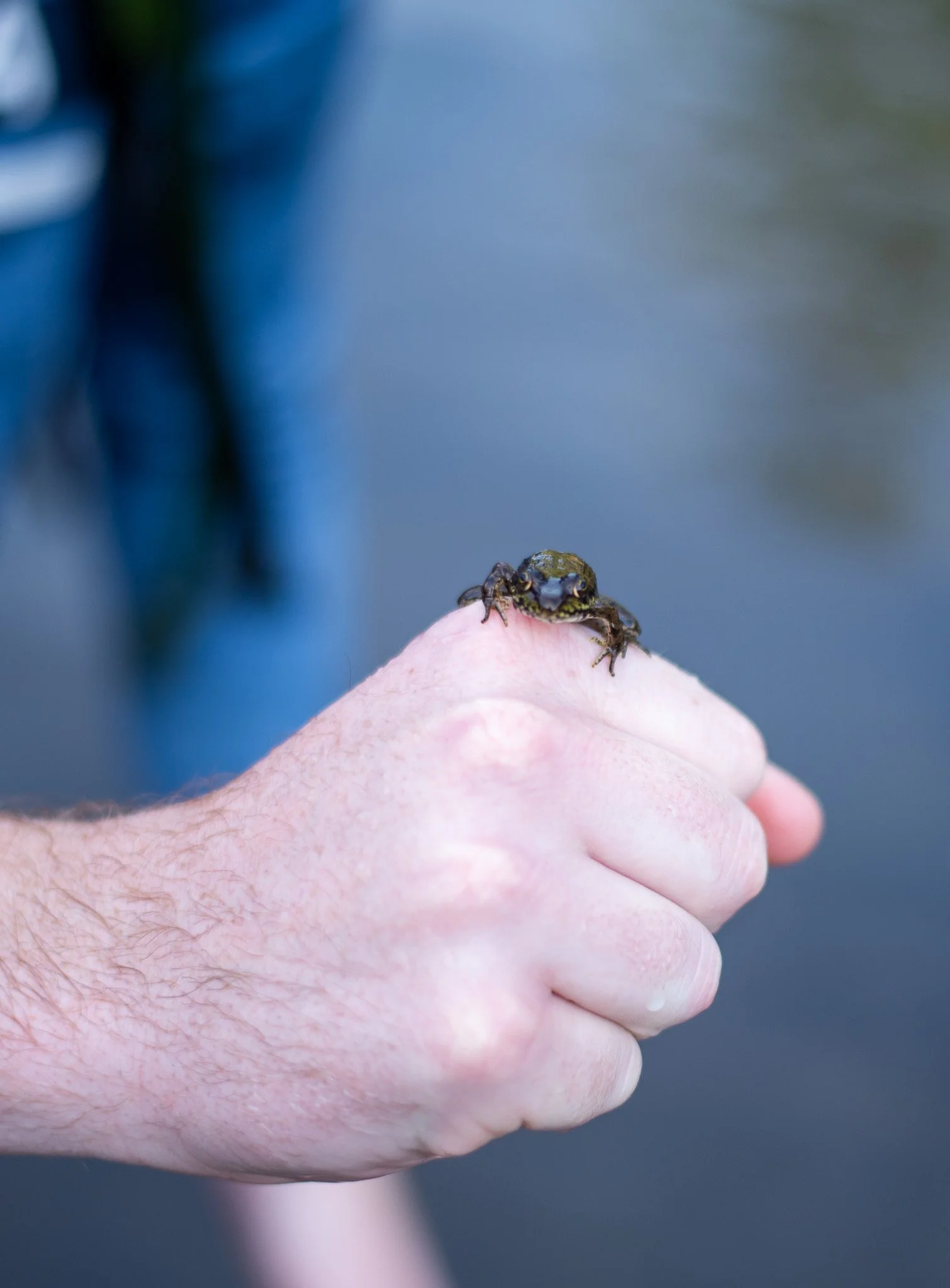
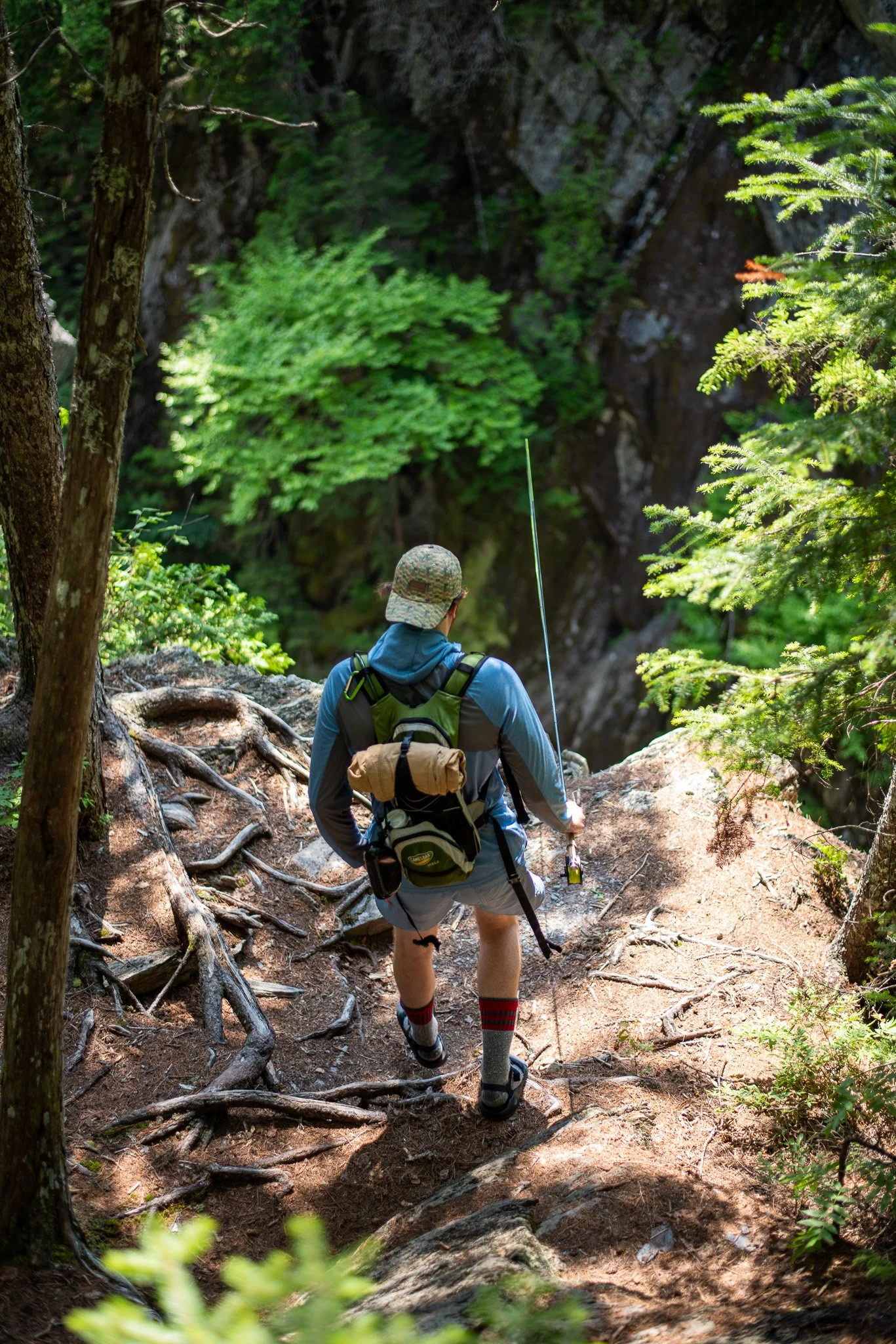
As we meandered from one falls viewpoint to the next, my goal continued to be to descend to each plunge to fish and swim.
Bad idea, mostly. Do not recommend. Many trails lead into obscure unmarked animal trails to steep drop offs. There just has to be a level of acceptance in the view from above. An exercise in letting go, if you will... But there were SO many more opportunities that do present themselves more naturally to approach the water. And we had no shortage of fishing, swimming and napping on rocks in the sun.
Every turn, every view, every waterfall feels like it should be the main attraction. In fact, I remember thinking at one point, about 6 hours in, “This could be 20 different hikes, and every one of them would be worth the drive and effort.”
Head of Gulf
And then we ran out of water. There’s a special irony in running out of drinking water while walking beside a roaring river. Luckily, we were only half a mile from the Head of the Gulf, so knew we would turn around there. It was about 4:30pm once we reached it, and we’d been hiking for 8 hours. Our Chacos and Tevas were causing all sorts of blister issues, our ankles had been through Armageddon, and we were out of water. So naturally, we swam one last time. We figured we wouldn’t make it back before dark along the rim trail (and I would NOT recommend that trail in any version of darkness), so we elected for the Tote trail, which had been in the back of my mind all day.
I hated to take the “less scenic” route. But, we knew it was triple the pace, and it honestly was a totally different and enjoyable experience. This trail is much more in the forest biosphere, and we spotted pileated woodpeckers, frogs, mushroom species galore, red eyed vireos, and more mosses and ferns than we could count. And we made it back by 6pm. Remember, we left at 8am, and reached the halfway point at 4:30pm. Impressive what an easier trail combined with thirst and hunger can do to your pace.
Thinking back on the day, we had conquered 10 million roots covered in loose rocks, dirt, and moss. We navigated 100 ft+ cliffs, descended dozens of side trails, and caught one of Maine’s most elusive and prized fish: the wild brook trout. We jumped into icy plunge pools and spotted fresh signs of moose and beaver.
My assessment a week after the trip as I’m writing this: Gulf Hagas isn’t just one of the best hikes in Maine. It’s one of the best outdoor adventures in New England. But don’t go alone, and don’t underestimate it.
Gulf Hagas Quick Facts
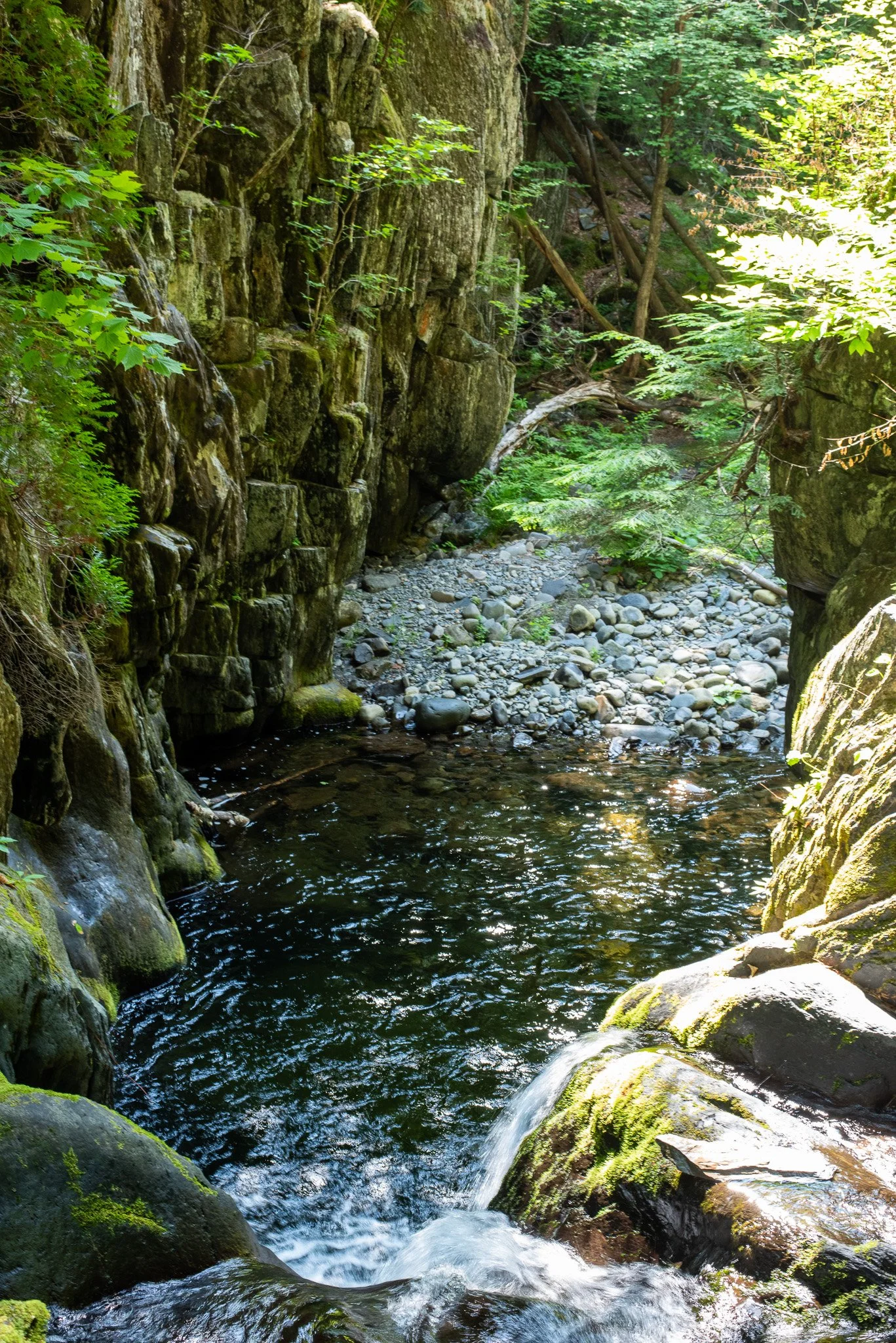
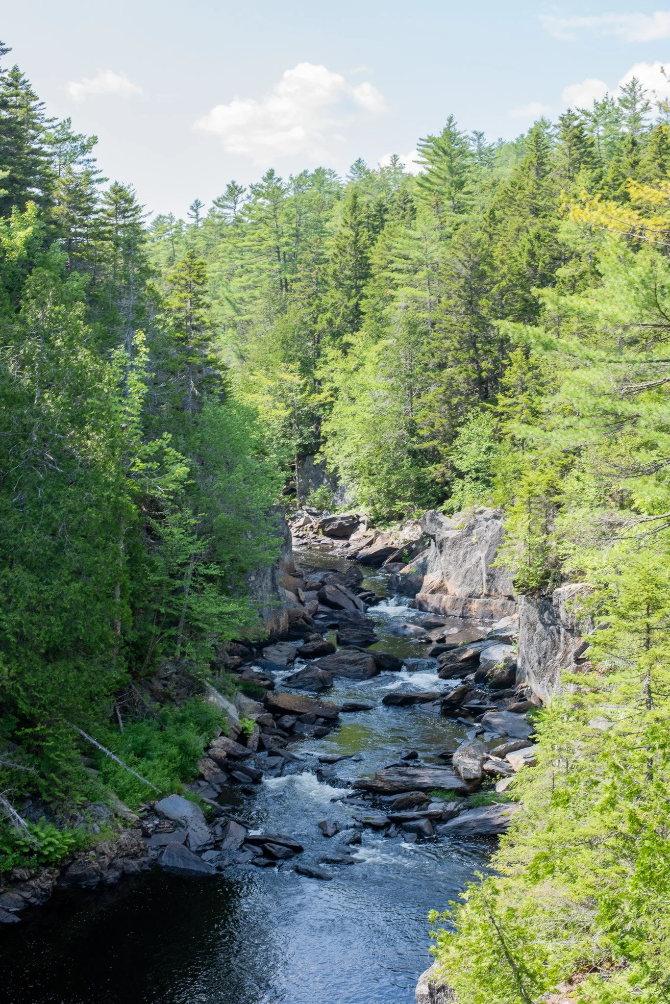
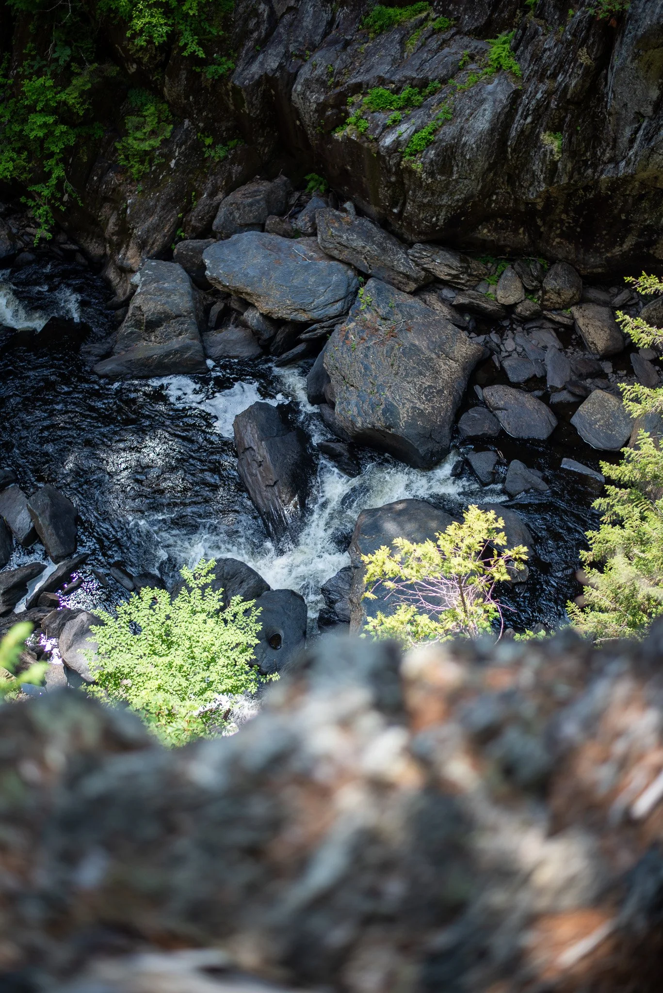
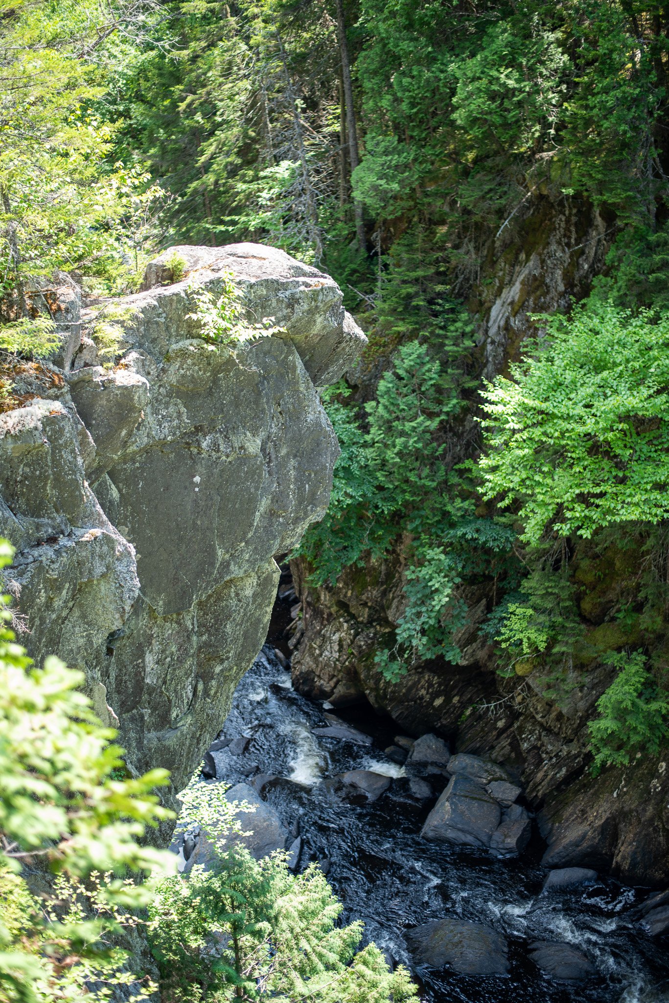
Bird’s eye view on the West Branch of the Pleasant River
Location: Bowdoin College Grant, near Katahdin Iron Works
Distance: About 8.5 to 9.5 miles depending on side trails
Elevation Gain: Approximately 1,600 feet
Difficulty: Challenging
Time: 6 to 9 hours for most hikers
Trail Type: Loop
Dog Friendly: Yes, for experienced hiking dogs
Kid Friendly: Not for most children
Swimming: Absolutely
Fishing: Excellent for wild brook trout with a valid Maine fishing license
Cell Service: Expect little to none
Best Seasons: Late June through October
Getting There
Part of what makes Gulf Hagas feel wild is simply getting there.
The drive alone feels like an adventure. After leaving the pavement you’ll follow the Katahdin Iron Works Road through miles of working forest before eventually reaching the Lower Gulf Parking Area.
Depending on recent grading, the road can range from surprisingly smooth to painfully bumpy.
You’ll also pass through the Katahdin Iron Works checkpoint, where a day use fee is typically collected during the season. It’s worth every penny because those fees help maintain access to one of Maine’s most spectacular places.
When you finally pull into the parking lot, don’t expect a bustling trailhead with a visitor center and gift shop. This place still feels wonderfully remote.
Our Hiking Route
There are several ways to hike Gulf Hagas. After talking with other hikers and looking over the map, we decided on what I think is the best option.
We parked at the Lower Gulf Parking Area, crossed the river, and joined the Appalachian Trail heading north.
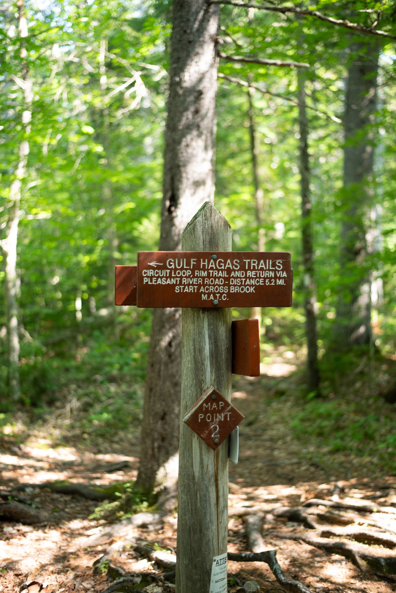
Eventually you’ll leave the AT and begin following the Gulf Hagas Loop itself. Get on the Rim trim, follow it until Head of Gulf, then join the Pleasant Tote Road (it’s not a road; it’s a trail) on the way back.
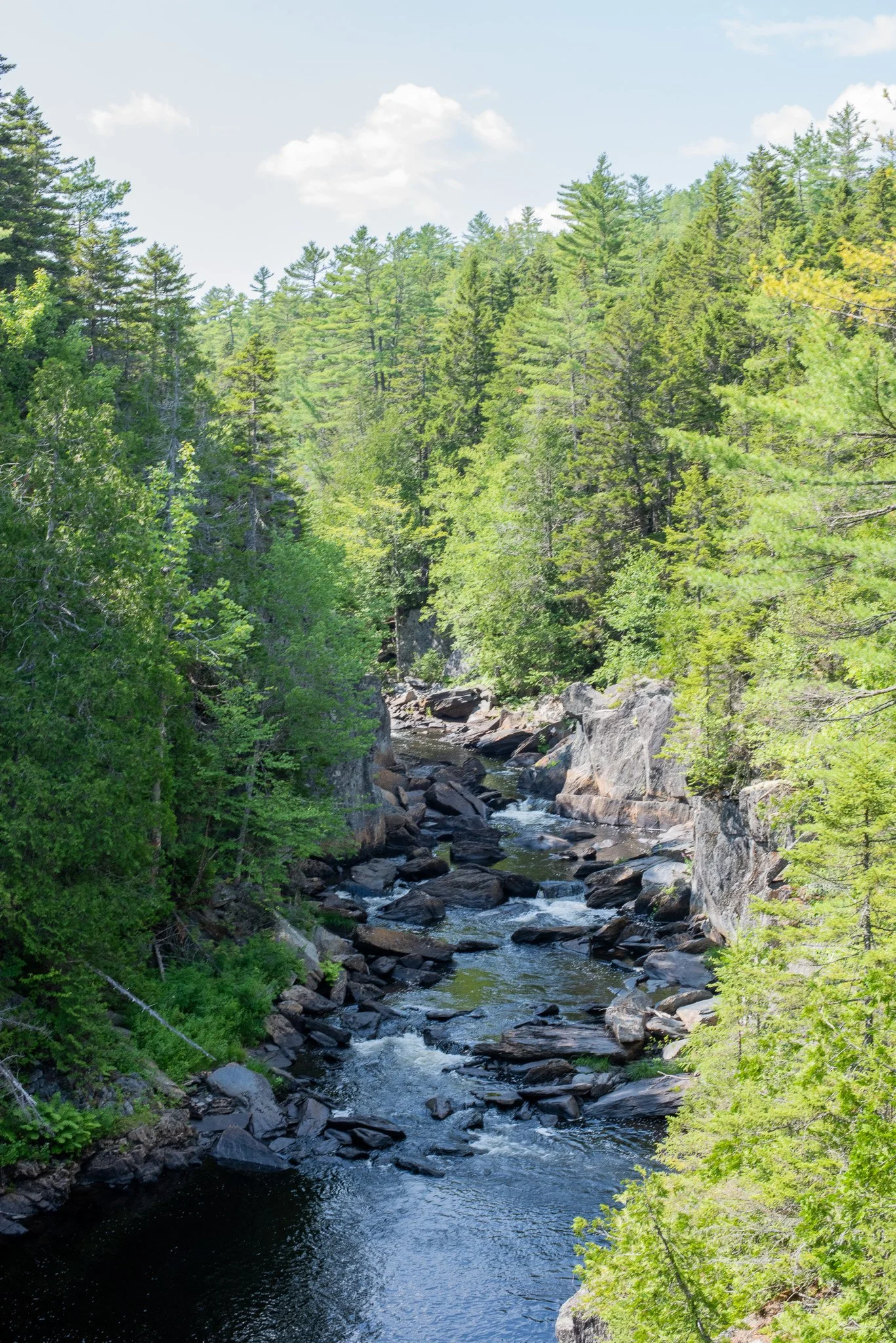
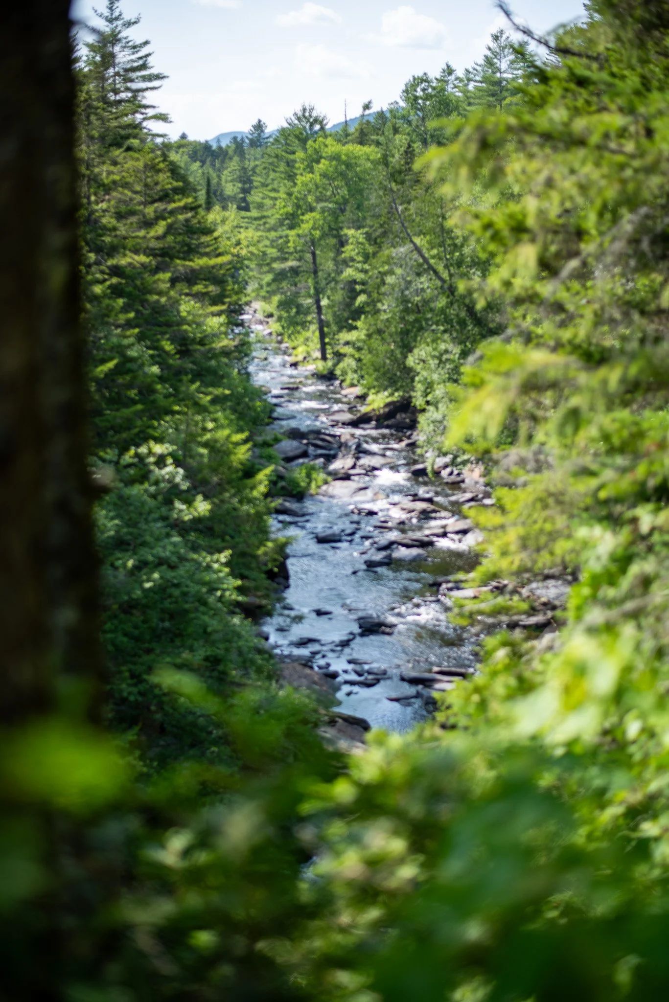
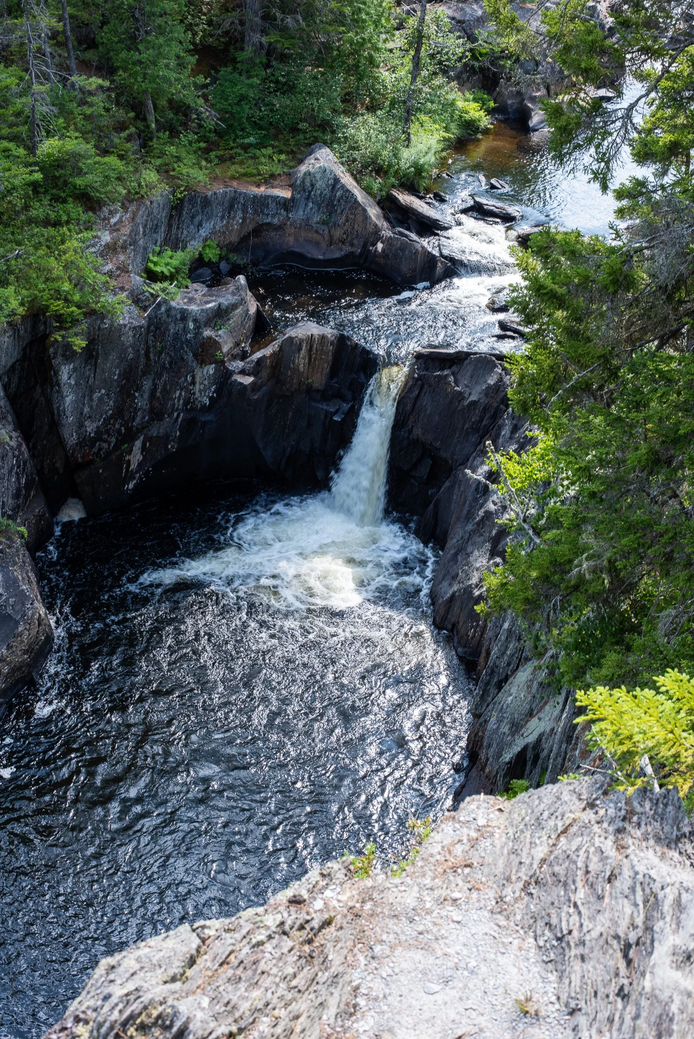
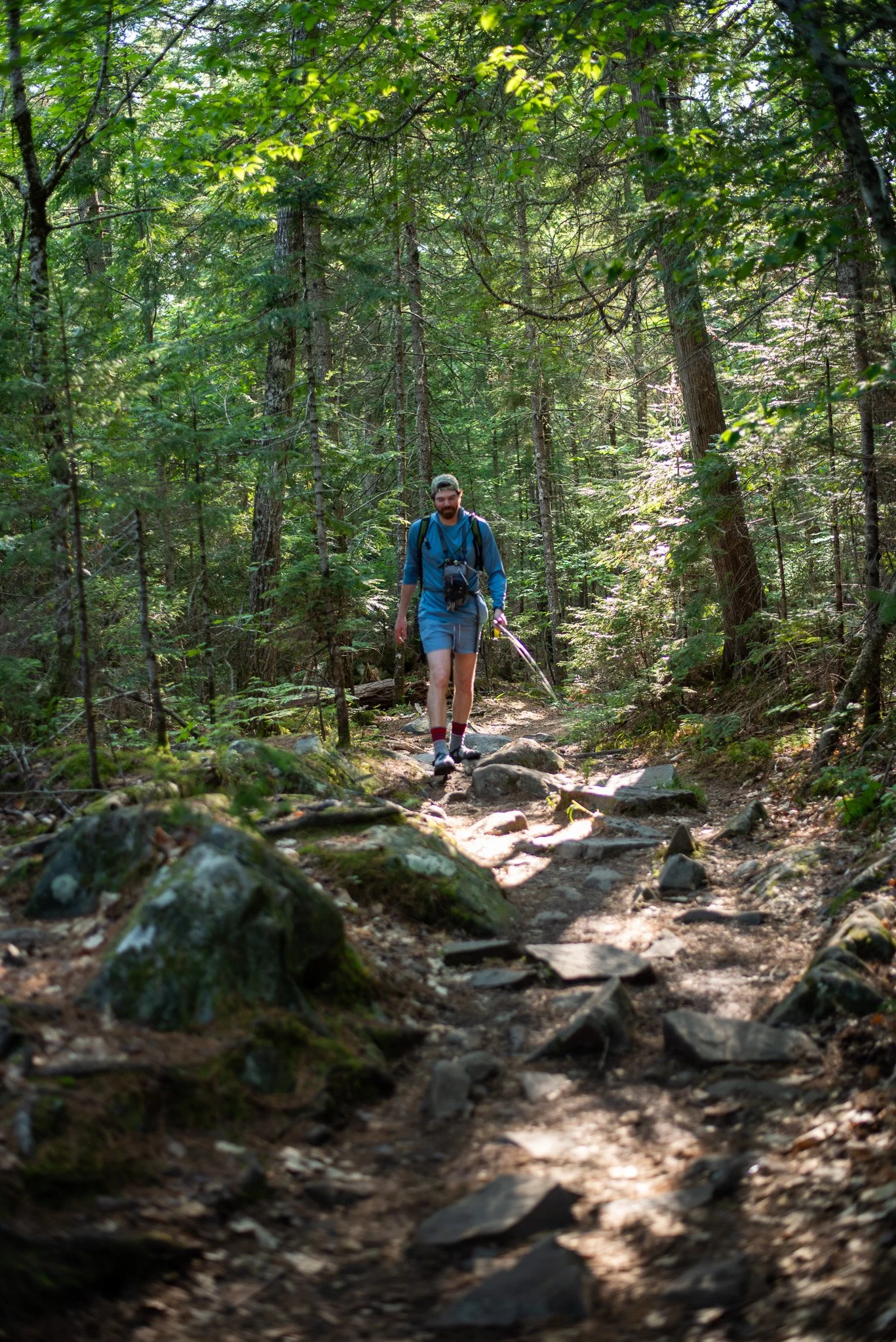
List of Waterfalls
Screw Auger Falls
The first (or last, depending on your route) waterfall experience. The river squeezes through a narrow gap in the slate before exploding into a deep emerald pool below. The water has spent thousands of years carving smooth curves into the rock, creating shapes that almost don’t look natural.
You could stand here for half an hour just watching the current twist through the gorge. This is one of the best photography spots on the entire hike. Morning light tends to work best here, especially when sunlight begins reaching the upper cliffs while the river is still in the shade.
Hammond Street Pitch
This is one of the most unique waterfalls in the gorge. The river narrows dramatically before accelerating through a steep rocky chute. The sound alone tells you you’re getting close.
The Jaws
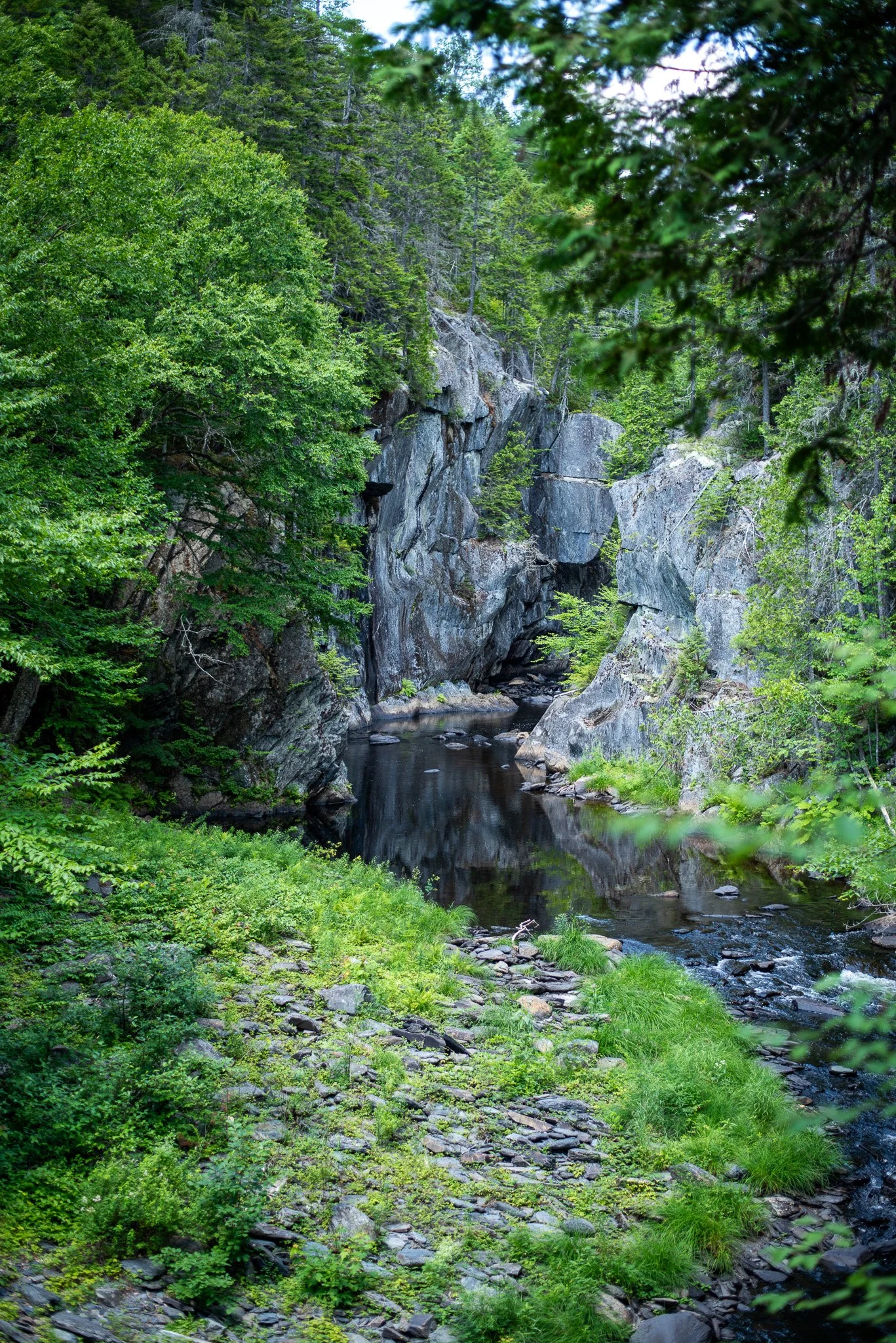
This was probably our favorite overlook. Massive walls of slate squeeze the river into an incredibly narrow channel.
Standing above it makes you appreciate just how much water is moving beneath your feet. The cliffs almost appear to lean toward one another. It’s easy to understand how this section earned its name.
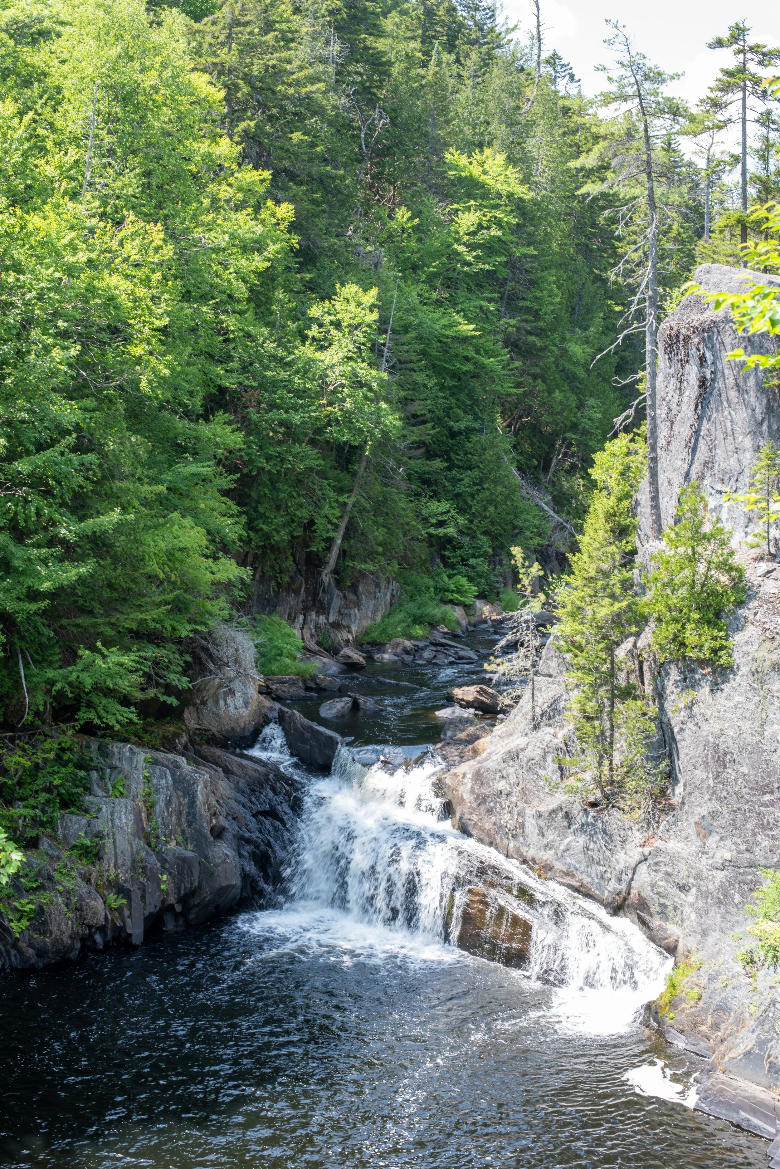
Buttermilk Falls
Buttermilk Falls
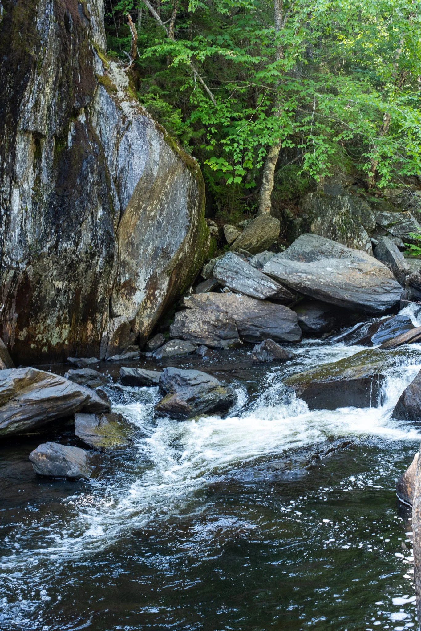
A few minutes later you’re rewarded again. Instead of one dramatic drop, Buttermilk Falls tumbles over broad shelves of slate in a series of smaller cascades. If Screw Auger feels powerful, Buttermilk feels graceful.
The contrast between the dark rock and bright white water is incredible, especially after heavy rain.
Billings Falls
Billings Falls is one of those places where it’s impossible not to wander around for a few extra minutes. Every angle looks different. Move twenty feet and the waterfall changes completely.
Stair Falls
The name makes perfect sense the second you see it. The river drops over what looks like an enormous natural staircase, each ledge creating another ribbon of whitewater before spilling into the next.
The Cathedral
If there were one place that truly felt like Maine’s Grand Canyon, this might be it. The walls rise high above the river. Everything suddenly feels bigger. It’s one of those places where conversations naturally stop. Almost like you’re in church 😉
Head of the Gulf
This is the “beginning” of the gorge. Take your time here and walk around. It’s expansive, open, and gentle compared to the rest of the falls.
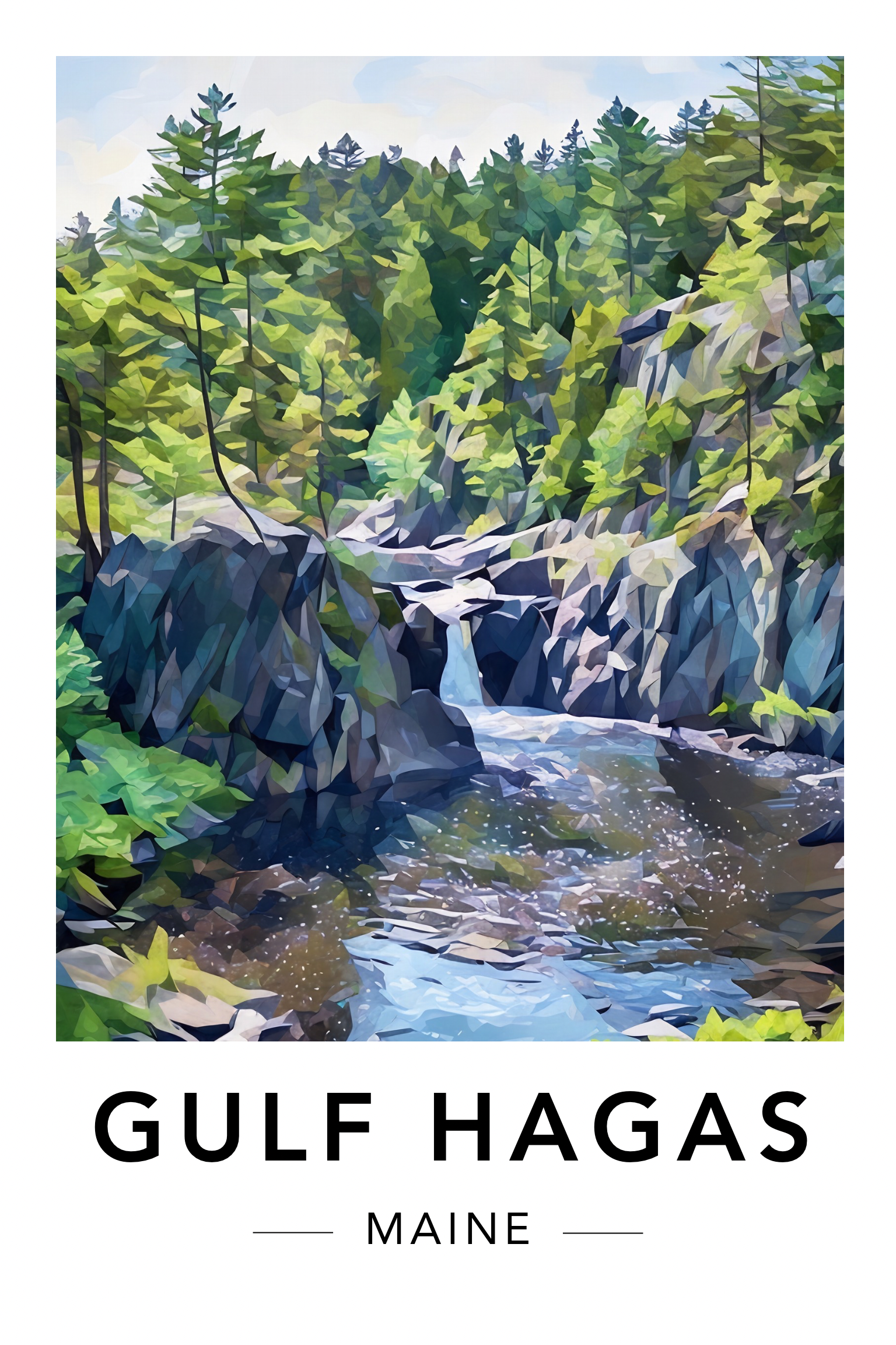
As you likely know by now, we fund our articles via our stickers, magnets, and wall art sales, and give back a portion of our proceeds to land trusts in Maine. Consider starting or adding to your collection with our brand new Gulf Hagas print. They make a pretty good gift for a hiking buddy, too! 😊
Check out all the designs here!
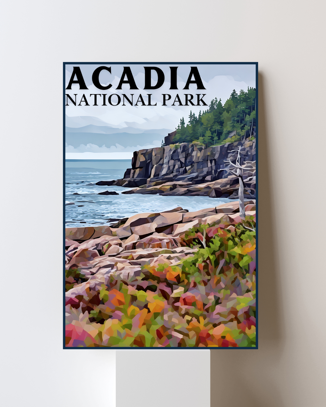
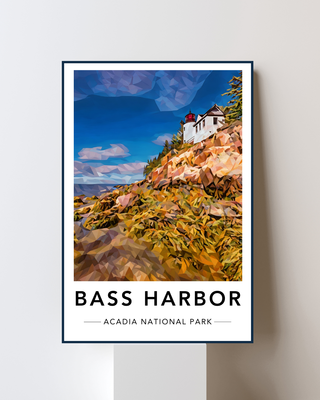
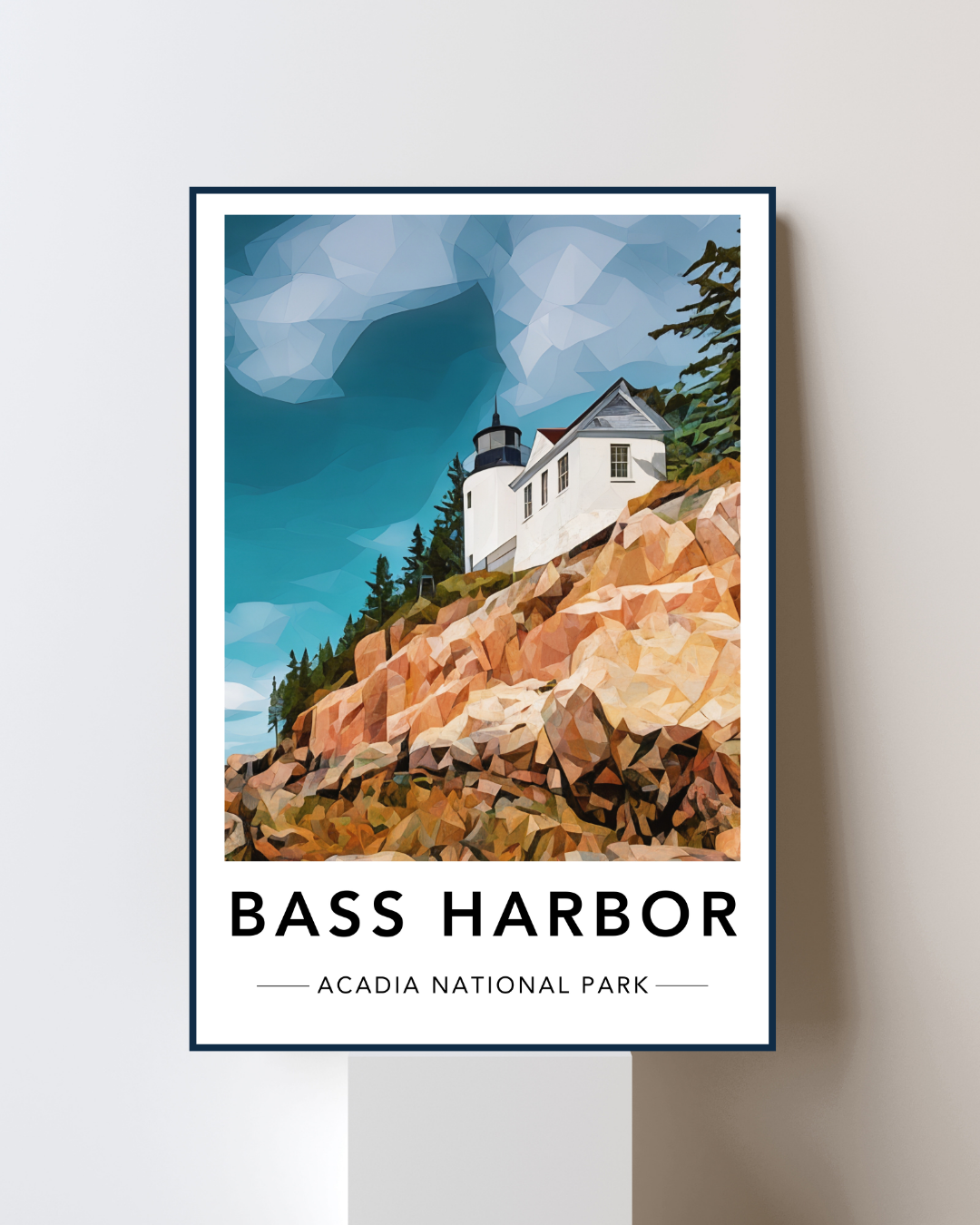
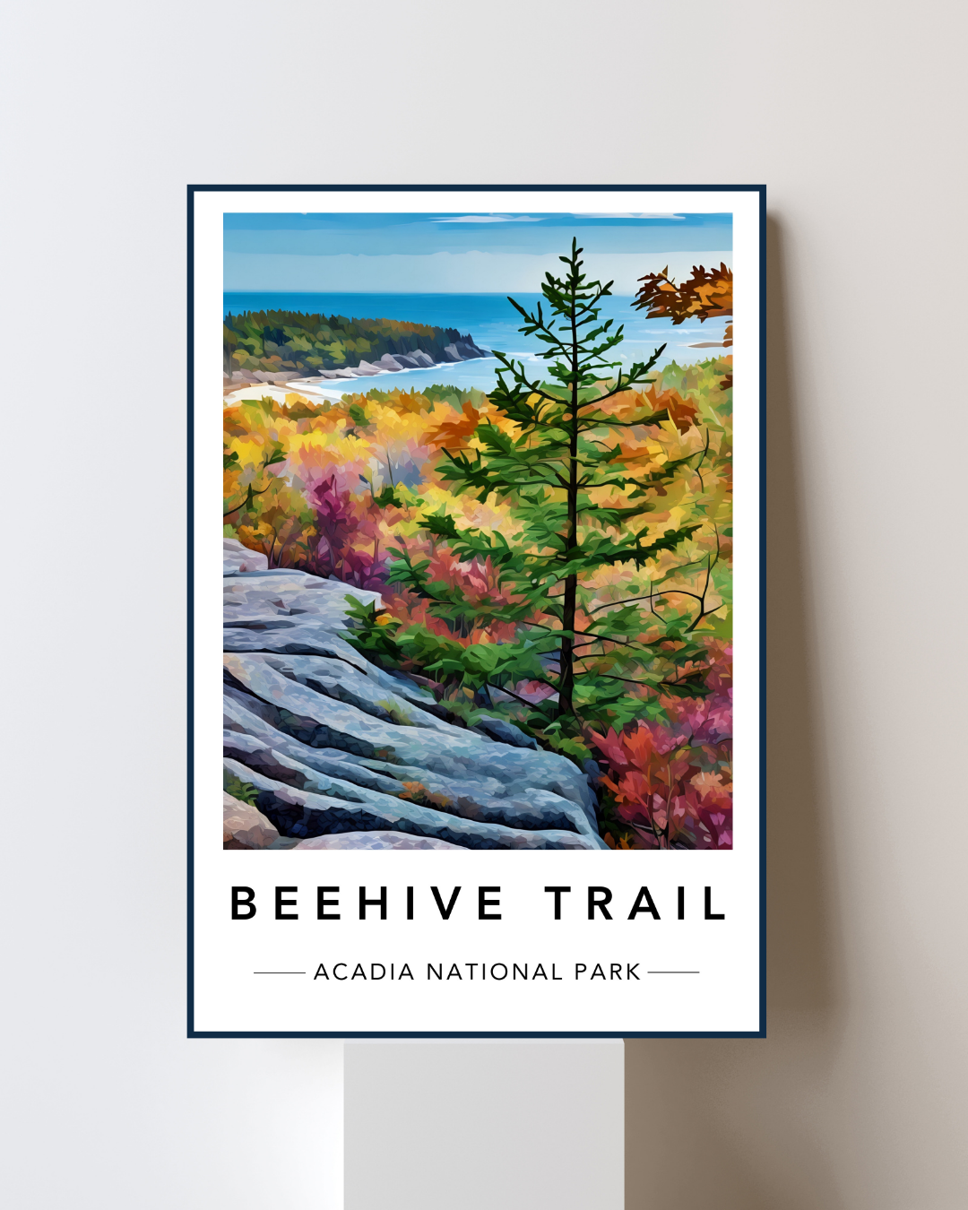
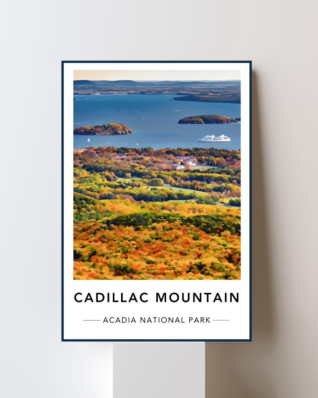
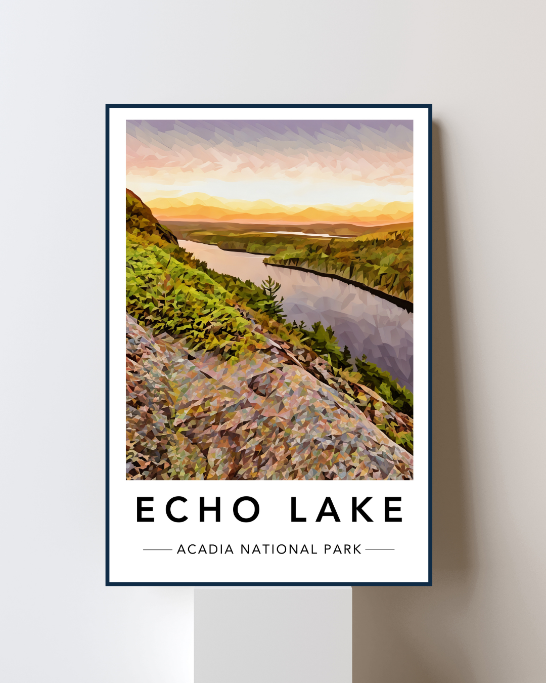
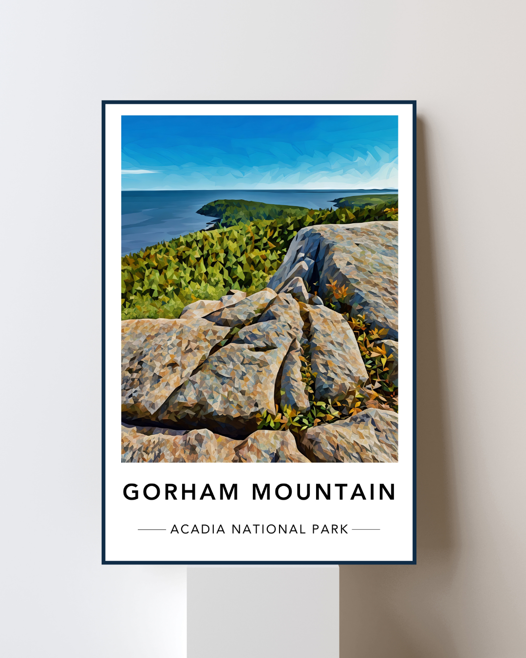

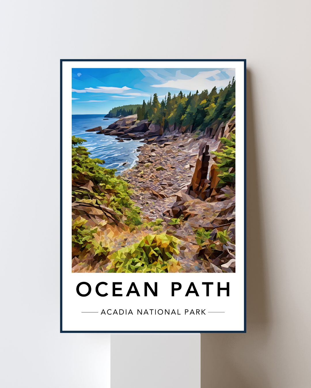

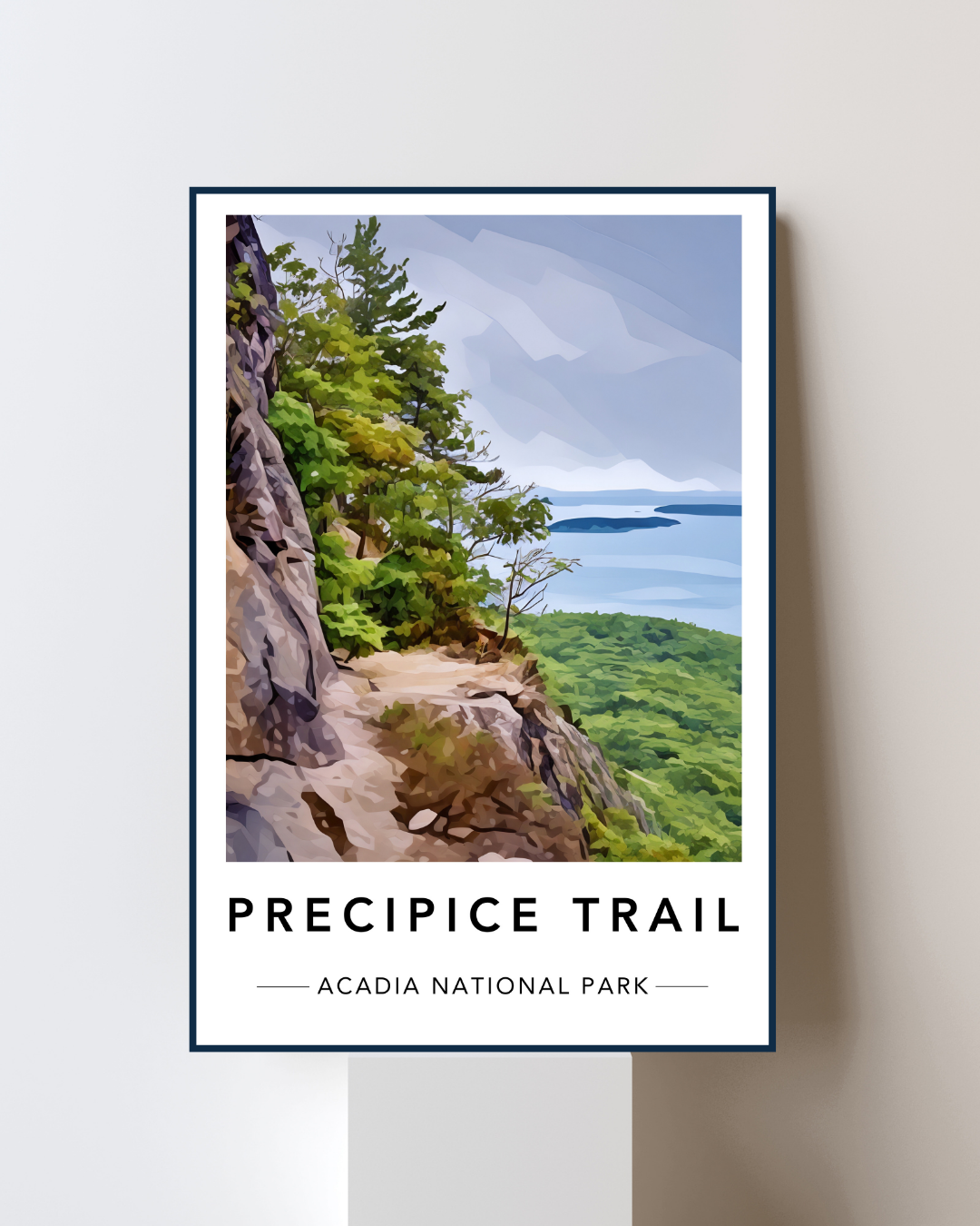



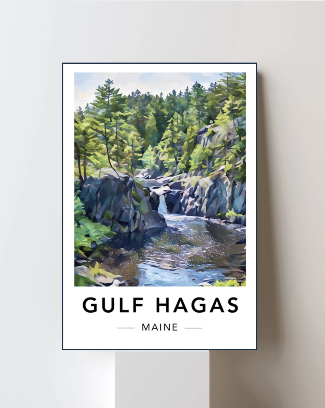













Unique fine art print of our beloved Maine trail. Crafted using Fujicolor Crystal Archive Super Type PDN paper, our Lustre Prints adhere to the highest standards of quality and durability.
A portion of profits will be donated directly to a Maine Land Trust organization chosen by YOU at checkout.
Frames available as an add-on for 8”×12” prints only.
Swimming in the Plunge Pools
One of the biggest surprises of the day wasn’t the waterfalls. It was just how many places made me want to jump into the river. On a hot summer afternoon, those crystal clear plunge pools are impossible to ignore.
The water is cold. Like, genuinely cold. Probably ~55 degrees.
The kind of cold that makes you question your decision halfway in before immediately deciding it was the best idea you’ve had all day. After scrambling over rocks for hours, there may not be a better feeling anywhere in Maine.
We found ourselves stopping more than once to cool off. I won’t tell you exactly which pools became our favorites. Half the fun is discovering them yourself. Just be smart and don’t jump in from too high or too far; the rocks are slippery. Always make sure you’re entering calm water and never dive.
The Brook Trout
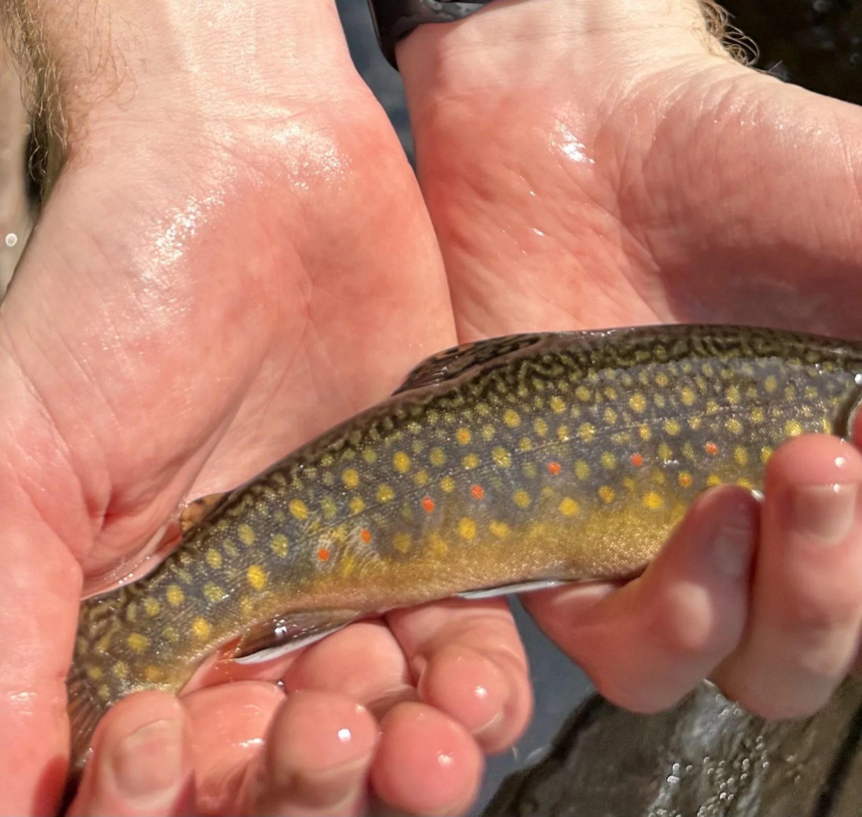
Vibrant colors of a Maine native brook trout
Every now and then we’d come across a deep pool that simply looked…fishy. You know, the kind of place where cold water swirls beneath a waterfall before disappearing into darker depths.
By the end of the day we’d landed roughly a dozen beautiful wild brook trout before sending every single one back into the river. I’m always amazed by the living artwork that is a Maine wild brook trout: Bright orange fins. Blue halos. White tipped edges.
Please remember that this is a special fishery. Handle fish gently. Wet your hands before touching them. Release them quickly. Leave the river exactly as wild as you found it.
Ps. Fishing regulations can change, so always check current Maine Inland Fisheries and Wildlife regulations before heading out. And make sure you have a license.
Where to Camp
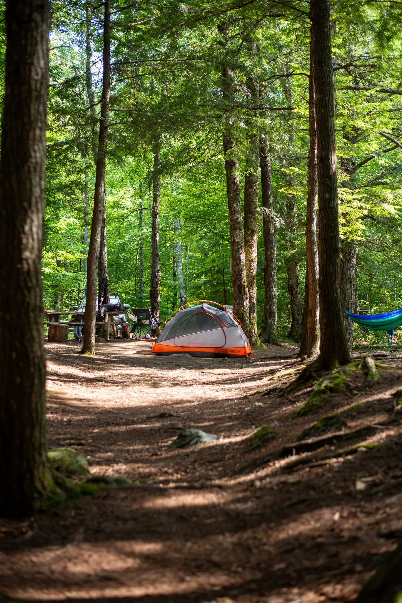
Our campsite
One of the best things about Gulf Hagas is that it doesn’t have to be just a day trip. If you’ve already driven all the way to Katahdin Iron Works, I’d seriously consider turning it into a weekend. You have a few great options.
If you’re backpacking, the Appalachian Trail passes right through the area, and there are established shelters and campsites nearby.
If you’d rather camp near your vehicle, stop at the Katahdin Iron Works checkpoint when you arrive. The staff can help you register for several nearby public campgrounds.
Some of the best options include:
West Branch Pleasant River Campground
Silver Lake Campground
High Bridge Campground
Hay Brook Campground
I do have a favorite, but I can’t tell you which one. It’s for your own good, I promise. Part of the fun is exploring the area and finding your own! I will also say, it’s hard to go wrong here.
What to Pack
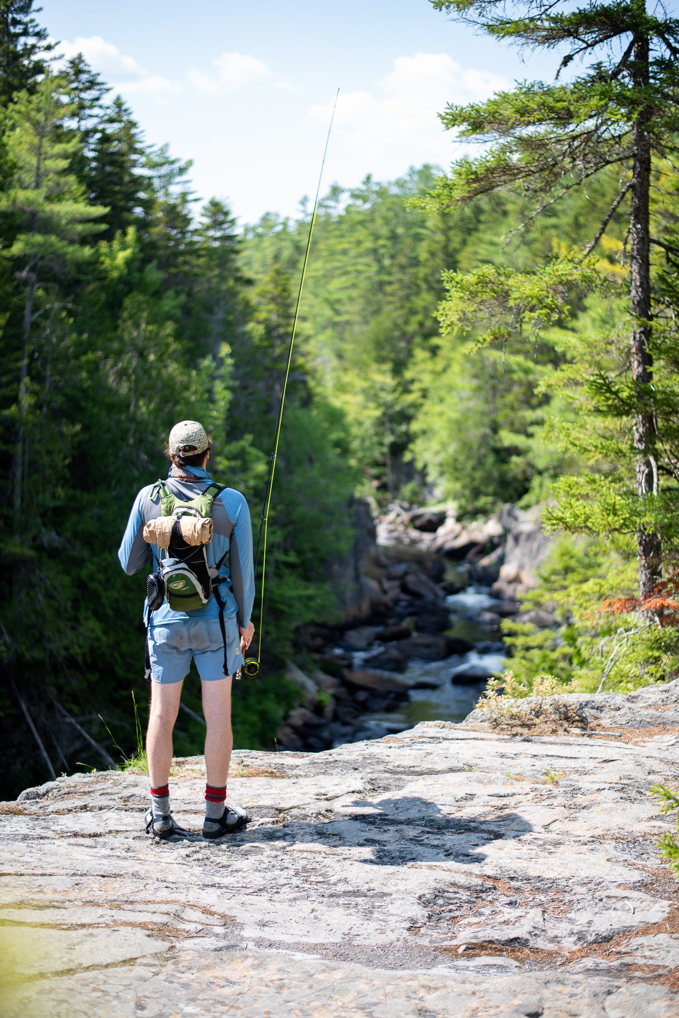
You don’t need technical climbing gear for Gulf Hagas. You do need to come prepared. If I were hiking it again tomorrow, this is exactly what I’d throw into my pack.
Water
More than you think. Seriously. This isn’t the hike where you want to ration your last few sips during the final mile.
Water filter
Probably the smartest thing you can carry. You’re surrounded by clean flowing water almost the entire day. A small filter weighs almost nothing and gives you one less thing to worry about.
Hiking shoes with aggressive tread
Grip matters here. There are countless wet rocks, angled slabs of slate, exposed roots, and loose sections of trail. This is one of those hikes where good footwear makes the day much more enjoyable.
Trekking poles
If you use trekking poles, this is a hike to bring them. More points of contact is better.
Swimsuit
Either wear it or bring it. You’ll regret leaving it behind.
Dry bag
You’ll probably end up setting your pack down on wet rocks more than once. A dry bag keeps your phone, camera, and extra layers protected.
Bug spray
You’re in northern Maine. Enough said.
Lunch
This isn’t a quick morning hike. Find a rock overlooking the river, eat slowly, and enjoy one of the best lunch views in the state.
Photography Tips
Bring the camera. You’re going to use it. Even if your camera is your phone on airplane mode.
If you’re photographing waterfalls, an overcast day is almost perfect. The softer light brings out the incredible greens in the moss and keeps bright white water from blowing out. If you’re really serious, bring an ND filter to get the silky-smooth effect of a long exposure.
If it’s sunny, morning generally offers the nicest light along much of the gorge. The forest filters the sunlight beautifully before it reaches the river.
Leave No Trace
Places like Gulf Hagas stay beautiful because people care for them. Pack out every piece of trash. Stay on established trails. Resist the urge to create new viewpoints. Leave wildflowers where they are. Respect wildlife from a distance. If you fish, release fish carefully. If you swim, avoid damaging fragile vegetation along the shoreline. The goal is simple:
Leave the gorge looking exactly like you hoped to find it.
Frequently Asked Questions
Is Gulf Hagas difficult?
Yes. Not necessarily because of steep climbing, but because the footing is constantly uneven and the trail rarely gives your legs a break.
How long does Gulf Hagas take?
Most hikers should expect somewhere between six and nine hours, especially if you stop at the overlooks, swim, or eat lunch along the river. If you’re fishing or exploring, count on even more.
We spent nearly the entire day here. Our outward journey took 8.5 hours and our return took 1.5 hours. The rim side of the trail (outward journey) is much harder, but our pace was deliberately slow.
Can beginners hike Gulf Hagas?
No, I wouldn’t recommend it. There are plenty of incredible beginner hikes in Maine. This isn’t one of them.
Can you swim at Gulf Hagas?
Absolutely. There are several incredible plunge pools throughout the gorge. Just be smart. The current can be surprisingly strong and rocks are often slippery.
Can you fish at Gulf Hagas?
Yes. The West Branch of the Pleasant River supports beautiful wild brook trout. Be sure to purchase a Maine fishing license and follow all current regulations.
Are dogs allowed?
Yes. Confident hiking dogs will probably love it.Older dogs or dogs that struggle on rough terrain may have a difficult day.
Is there cell service?
Expect little to none. Download your maps before leaving home or use one of the paper maps supplied by North Maine Woods at check-in.
What Next?
If Gulf Hagas leaves you wanting more, here are a few more Maine adventures worth adding to your list:

Find all our articles and recommendations here!
A thrilling cliffside hike featuring iron rungs, narrow ledges, and sweeping views of Frenchman Bay. Check out how I learned to hike the Precipice the hard way.